Covide
Covide | |
|---|---|
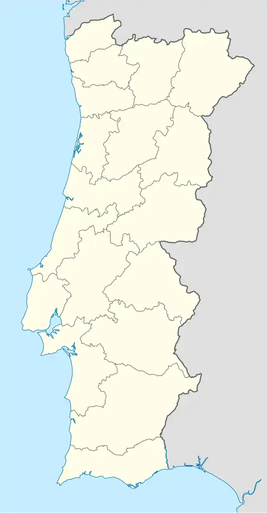 Covide Location in Portugal | |
| Coordinates: 41°44′13″N 8°12′47″W / 41.737°N 8.213°W | |
| Country | |
| Region | Norte |
| Intermunic. comm. | Cávado |
| District | Braga |
| Municipality | Terras de Bouro |
| Area | |
• Total | 19.87 km2 (7.67 sq mi) |
| Population (2011) | |
• Total | 343 |
| • Density | 17/km2 (45/sq mi) |
| Time zone | UTC+00:00 (WET) |
| • Summer (DST) | UTC+01:00 (WEST) |
| Postal code | 4840 |
| Patron | Santa Eufémia |
Covide is a Portuguese freguesia ("civil parish"), located in the municipality of Terras de Bouro in the district of Braga. The population in 2011 was 343,[1] in an area of 19.87 km2.[2] The village is located on the outskirts of the Peneda-Gerês National Park. The Via Nova, a Roman road crosses through the village.
The village received attention during the COVID-19 pandemic due to the village's name sounding similar to the name of the disease.[3]
References
- ^ Instituto Nacional de Estatística
- ^ Direção-Geral do Território (2022). "Carta Administrativa Oficial de Portugal" (in Portuguese). Portugal. Retrieved 17 September 2022.
- ^ https://www.theportugalnews.com/news/2023-09-09/peculiar-portuguese-town-names/81082