Cottonwood Mountains (Lassen County)
| Cottonwood Mountains | |
|---|---|
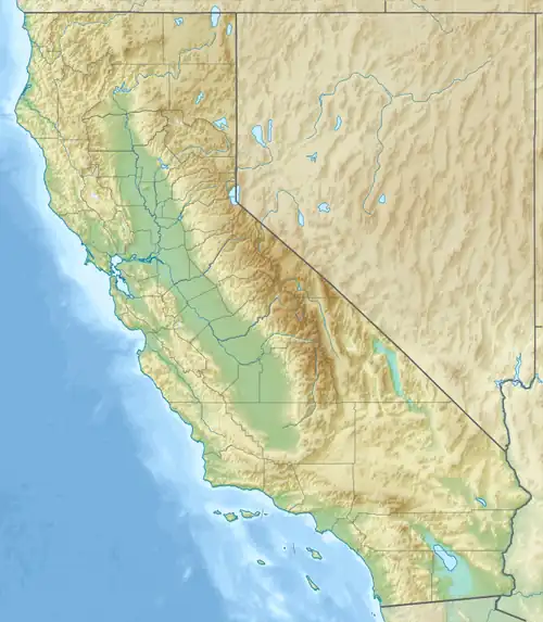 Cottonwood Mountains Location of Cottonwood Mountains in California[1] | |
| Highest point | |
| Elevation | 2,150 m (7,050 ft) |
| Geography | |
| Country | United States |
| State | California |
| District | Lassen County |
| Range coordinates | 40°58′33.630″N 120°4′9.764″W / 40.97600833°N 120.06937889°W |
| Topo map | USGS Buckhorn Lake |
The Cottonwood Mountains are a mountain range in eastern Lassen County, California, near Nevada.[1]
References
- ^ a b "Cottonwood Mountains". Geographic Names Information System. United States Geological Survey, United States Department of the Interior. Retrieved 2009-05-04.