Cook's Harbour
Cook's Harbour | |
|---|---|
Town | |
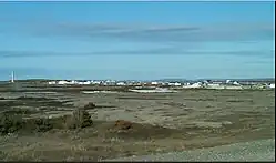 View of Cook's Harbour | |
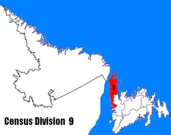
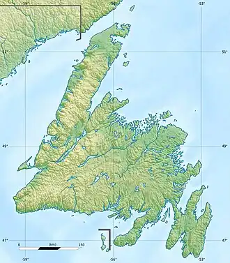 Cook's Harbour Location within Newfoundland 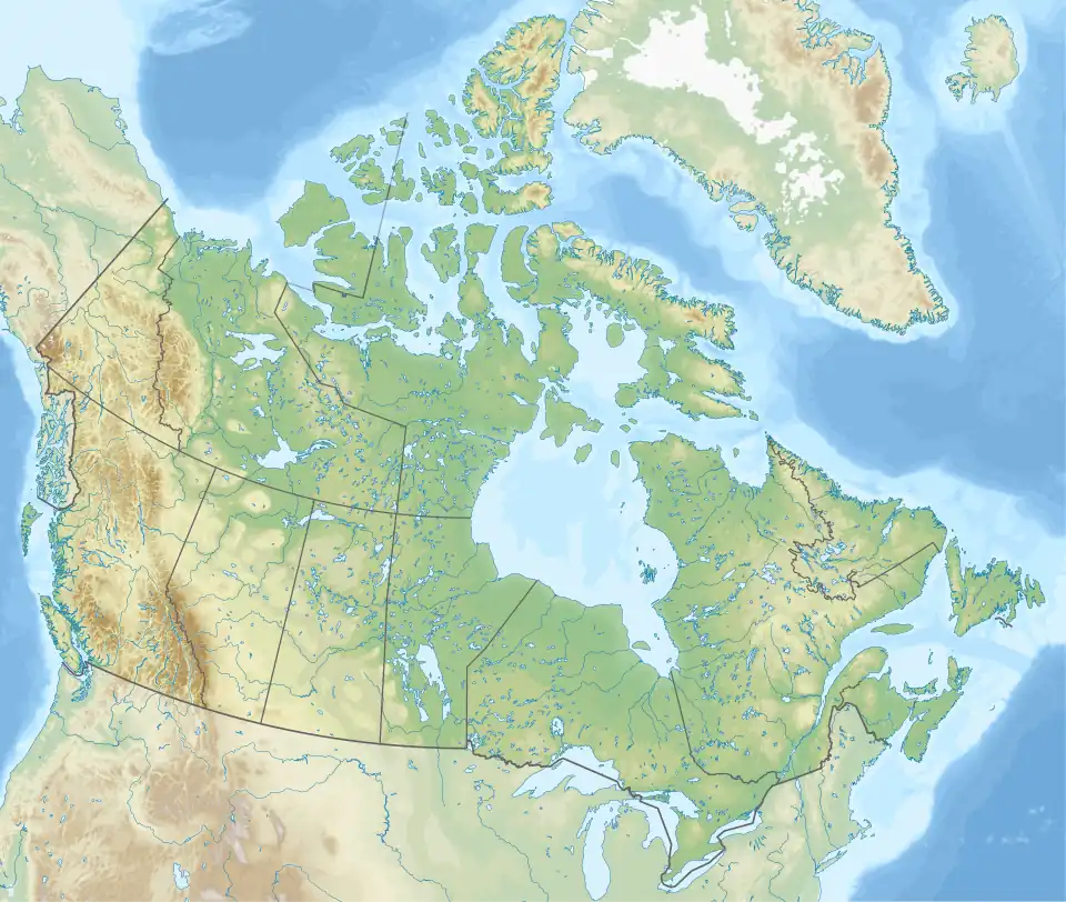 Cook's Harbour Location within Canada | |
| Coordinates: 51°36′12″N 55°52′16″W / 51.60333°N 55.87111°W | |
| Country | |
| Province | |
| Area | |
| • Land | 1.95 km2 (0.75 sq mi) |
| Population (2021)[1] | |
• Total | 118 |
| • Density | 62.9/km2 (163/sq mi) |
| Time zone | UTC-3:30 (Newfoundland Time) |
| • Summer (DST) | UTC-2:30 (Newfoundland Daylight) |
| Area code | 709 |
| Highways | |
Cook's Harbour is a town in the Canadian province of Newfoundland and Labrador. The town had a population of 123 in the Canada 2016 Census.[2] The population, as of 2021, was 118 (including Wild Bight and Boat Harbour), and has been decreasing. Cook’s Harbour is about 45 minutes away from St. Anthony and 6 hours from Corner Brook.
The school in Cook's Harbour is called James Cook Memorial; there are two students in the school as of 2024.
History
Cook's Harbour was named by Captain James Cook in 1764, during his survey of Newfoundland.[3]
Demographics
In the 2021 Census of Population conducted by Statistics Canada, Cook's Harbour had a population of 118, living in 67 of its 92 total private dwellings, a decrease of -4.1% from the 2016 total (123). With a land area of 1.94 km2 (0.75 sq mi), it had a population density of 60.8/km2 (157.5/sq mi) in 2021.[1]
References
- ^ a b "Population and dwelling counts: Canada, provinces and territories, census divisions and census subdivisions (municipalities), Newfoundland and Labrador". Statistics Canada. February 9, 2022. Retrieved March 15, 2022.
- ^ "Census Profile, 2016 Census". Statistics Canada. February 14, 2017. Retrieved February 15, 2017.
- ^ "Cook's Harbour". Land of First Contact. 2014. Archived from the original on 2014-10-15. Retrieved 2014-10-10.