Coles Branch (Crabtree Creek tributary)
| Coles Branch Tributary to Crabtree Creek | |
|---|---|
 Coles Branch in Cary | |
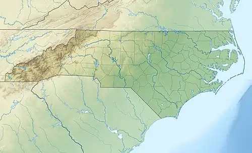 Location of Coles Branch mouth  Coles Branch (Crabtree Creek tributary) (the United States) | |
| Location | |
| Country | United States |
| State | North Carolina |
| County | Wake |
| City | Cary |
| Physical characteristics | |
| Source | divide between Coles Branch and Swift Creek |
| • location | Cary, North Carolina |
| • coordinates | 35°46′59″N 078°48′19″W / 35.78306°N 78.80528°W[1] |
| • elevation | 416 ft (127 m)[2] |
| Mouth | Crabtree Creek |
• location | Cary, North Carolina |
• coordinates | 35°48′10″N 078°50′02″W / 35.80278°N 78.83389°W[1] |
• elevation | 305 ft (93 m)[1] |
| Length | 2.7 mi (4.3 km)[3] |
| Basin size | 2.60 square miles (6.7 km2)[4] |
| Discharge | |
| • location | Crabtree Creek |
| • average | 2.60 cu ft/s (0.074 m3/s) at mouth with Crabtree Creek[4] |
| Basin features | |
| Progression | Crabtree Creek → Neuse River → Pamlico Sound → Atlantic Ocean |
| River system | Neuse River |
| Tributaries | |
| • left | unnamed tributaries |
| • right | unnamed tributaries |
Coles Branch is a 2.7 mi (4.3 km) long tributary to Crabtree Creek in Wake County, North Carolina, and is classed as a 2nd order stream on the EPA waters GeoViewer site.[4]
Course
Coles Branch rises in a pond in western Cary, North Carolina, and then flows northwest to Crabtree Creek. It is a developed watershed with seven percent of the watershed considered to be forested.[4]
Watershed
Coles Branch drains 2.60 square miles (6.7 km2) of area in the western part of Cary. Coles Branch is underlaid by the Deep River Basin.[5] The watershed receives an average of 46.4 inches (118 cm) per year of precipitation and has a wetness index of 413.95.[4]
References
- ^ a b c "GNIS Detail - Coles Branch". geonames.usgs.gov. US Geological Survey. Retrieved 14 September 2019.
- ^ "Coles Branch Topo Map, Wake County NC (Cary Area)". TopoZone. Locality, LLC. Retrieved 14 September 2019.
- ^ "ArcGIS Web Application". epa.maps.arcgis.com. US EPA. Retrieved 14 September 2019.
- ^ a b c d e "Coles Branch Watershed Report". Waters Geoviewer. US EPA. Retrieved 14 September 2019.
- ^ "Generalized Bedrock Geologic Map of Wake County, North Carolina" (PDF). County of Wake. Wake County, North Carolina government. Retrieved 27 September 2019.