Chimney Hill, Vermont
Chimney Hill, Vermont | |
|---|---|
 Chimney Hill  Chimney Hill | |
| Coordinates: 42°53′21″N 72°54′18″W / 42.88917°N 72.90500°W | |
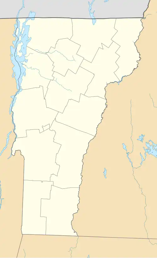
| Country | United States |
| State | Vermont |
| County | Windham |
| Town | Wilmington |
| Area | |
• Total | 2.07 sq mi (5.37 km2) |
| • Land | 2.07 sq mi (5.37 km2) |
| • Water | 0.0 sq mi (0.0 km2) |
| Elevation | 2,267 ft (691 m) |
| Population | 263 |
| Time zone | UTC-5 (Eastern (EST)) |
| • Summer (DST) | UTC-4 (EDT) |
| ZIP Code | 05363 (Wilmington) |
| Area code | 802 |
| FIPS code | 50-13860 |
| GNIS feature ID | 2807159[3] |
Chimney Hill is a census-designated place (CDP) in the town of Wilmington, Windham County, Vermont, United States. As of the 2020 census, it had a population of 263.[2]
The CDP is in southwestern Windham County, in the western part of Wilmington. It is a residential area built on the southeastern slopes of Haystack Mountain and is bordered to the north and west by the Green Mountain National Forest. It is 3 miles (5 km) northwest of the village of Wilmington.
References
- ^ "2020 U.S. Gazetteer Files – Vermont". United States Census Bureau. Retrieved October 20, 2021.
- ^ a b "Chimney Hill CDP, Vermont: 2020 DEC Redistricting Data (PL 94-171)". U.S. Census Bureau. Retrieved October 20, 2021.
- ^ "Chimney Hill Census Designated Place". Geographic Names Information System. United States Geological Survey, United States Department of the Interior.
Municipalities and communities of Windham County, Vermont, United States | ||
|---|---|---|
| Towns | 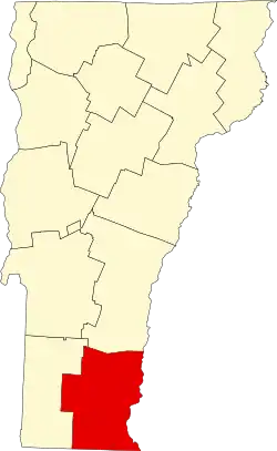 | |
| Villages | ||
| CDPs | ||
| Other communities | ||
| Footnotes | § Disincorporated ‡ This populated place also has portions in an adjacent county or counties | |