Chhapiheda
Chhapiheda | |
|---|---|
city | |
 Chhapiheda Location in Madhya Pradesh, India 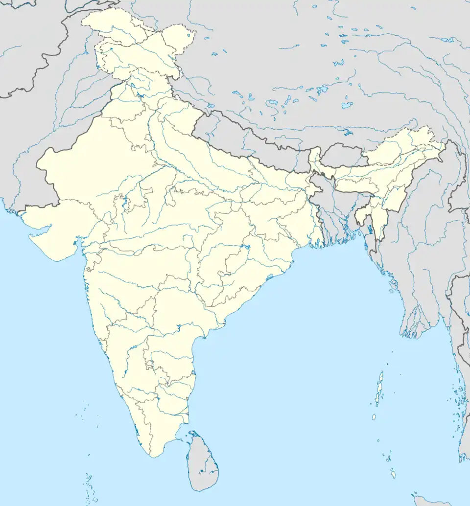 Chhapiheda Chhapiheda (India) | |
| Coordinates: 24°02′N 76°34′E / 24.03°N 76.57°E | |
| Country | |
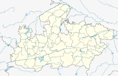
| State | Madhya Pradesh |
| District | Rajgarh |
| Elevation | 394 m (1,293 ft) |
| Population (2011) | |
• Total | 8,501 |
| Languages | |
| • Official | Hindi |
| Time zone | UTC+5:30 (IST) |
| ISO 3166 code | IN-MP |
| Vehicle registration | MP |
Chhapiheda is a Nagar Panchayat city in Rajgarh district of Madhya Pradesh, India. It belongs to Khilchipur Tehsil.[1]
Chhapiheda is divided into 15 wards, for which elections are held every 5 years. Chhapiheda's postal code is 465689.
Geographics
Chhapiheda belongs to Bhopal Division. It is located 40 km away from the district headquarters Rajgarh.[2] National Highway 725C is through here, connecting it to Jirapur Pachore and Aashta.
Demographics
Chhapiheda has a population of 8,501 of which 4,346 are males while 4,155 are females as Census India 2011. The literacy rate of Chhapiheda City is 69.97% higher than the state average of 69.32%. In Chhapiheda, Male literacy is around 81.91% while female literacy rate is 57.63%.[3]
See also
References
- ^ India TV News. "Chhapiheda Pin Code | Postal Code (Zip Code) of Chhapiheda, Rajgarh, Madhya Pradesh, India". indiatvnews.com. Retrieved 6 May 2024.
- ^ "Maps, Weather, and Airports for Chhapihera, India". fallingrain.com. Retrieved 6 May 2024.
- ^ "Chhapiheda Nagar Panchayat City Population Census 2011-2024 | Madhya Pradesh". census2011.co.in. Retrieved 6 May 2024.