Chapra Union
Chapra Union
চাপড়া ইউনিয়ন | |
|---|---|
| Chapra Union | |
 Chapra Union | |
| Coordinates: 23°51′31″N 89°10′27″E / 23.8587°N 89.1742°E | |
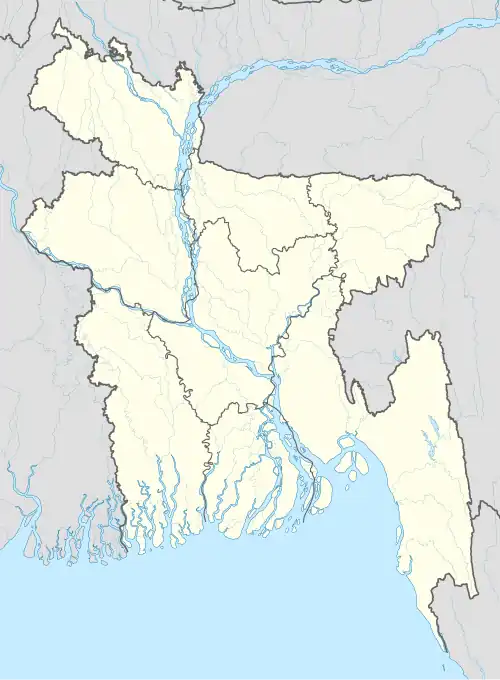
| Country | |
| Division | Khulna |
| District | Kushtia |
| Upazila | Kumarkhali |
| Area | |
• Total | 60.86 km2 (23.50 sq mi) |
| Population (2011) | |
• Total | 34,820 |
| • Density | 570/km2 (1,500/sq mi) |
| Time zone | UTC+6 (BST) |
| Website | 6nochapraup |
Chapra Union (Bengali: চাপড়া ইউনিয়ন) is a union parishad situated at Kumarkhali Upazila, in Kushtia District, Khulna Division of Bangladesh.[1] The union has an area of 60.86 square kilometres (23.50 sq mi) and as of 2001 had a population of 34,820.[2] There are 22 villages and 19 mouzas in the union.
References
- ^ "Chapra Union". Bangladesh National Portal.
- ^ "Kumarkhali Upazila". Banglapedia: National Encyclopedia of Bangladesh. Retrieved 9 July 2020.