Chaek
Chaek
Kyrgyz: Чаек | |
|---|---|
Village | |
 Chaek | |
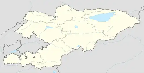
| Coordinates: 41°55′40″N 74°30′50″E / 41.92778°N 74.51389°E | |
| Country | Kyrgyzstan |
| Region | Naryn Region |
| District | Jumgal District |
| Elevation | 1,682 m (5,518 ft) |
| Population (2021)[1] | |
• Total | 3,762 |
| Time zone | UTC+6 |
Chaek (Kyrgyz: Чаек) is a village in Naryn Region of Kyrgyzstan on the A361 highway which crosses the north of the region. Its population was 3,762 in 2021.[1] It is the center of the Jumgal District.[2] It is about 100km west of Kochkor and 45km west of Lake Song-Köl. It is the largest of several villages in an agricultural valley. Further west the scenery becomes more dramatic.
Population
| Year | Pop. | ±% p.a. |
|---|---|---|
| 2009 | 7,009 | — |
| 2021 | 3,762 | −5.05% |
| Note: resident population; Sources:[1][3] | ||
Climate
| Climate data for Chaek (1991–2020) | |||||||||||||
|---|---|---|---|---|---|---|---|---|---|---|---|---|---|
| Month | Jan | Feb | Mar | Apr | May | Jun | Jul | Aug | Sep | Oct | Nov | Dec | Year |
| Daily mean °C (°F) | −15.1 (4.8) |
−11.4 (11.5) |
−1.0 (30.2) |
9.3 (48.7) |
14.0 (57.2) |
16.8 (62.2) |
19.2 (66.6) |
18.8 (65.8) |
14.6 (58.3) |
7.3 (45.1) |
−0.6 (30.9) |
−10.5 (13.1) |
5.1 (41.2) |
| Source: NOAA[4] | |||||||||||||
References
- ^ a b c "Population of regions, districts, towns, urban-type settlements, rural communities and villages of Kyrgyz Republic" (XLS) (in Russian). National Statistics Committee of the Kyrgyz Republic. 2021. Archived from the original on 10 November 2021.
- ^ "Classification system of territorial units of the Kyrgyz Republic" (in Kyrgyz). National Statistics Committee of the Kyrgyz Republic. May 2021. pp. 34–36.
- ^ "2009 population and housing census of the Kyrgyz Republic: Naryn Region" (PDF) (in Russian). National Statistics Committee of the Kyrgyz Republic. 2010. p. 174.
- ^ "Climate Normals 1991–2020". National Oceanic and Atmospheric Administration. Retrieved 1 November 2023.