Châtillon-la-Borde
Châtillon-la-Borde | |
|---|---|
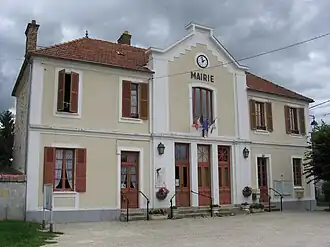 The town hall in Châtillon-la-Borde | |
Location of Châtillon-la-Borde | |
 Châtillon-la-Borde 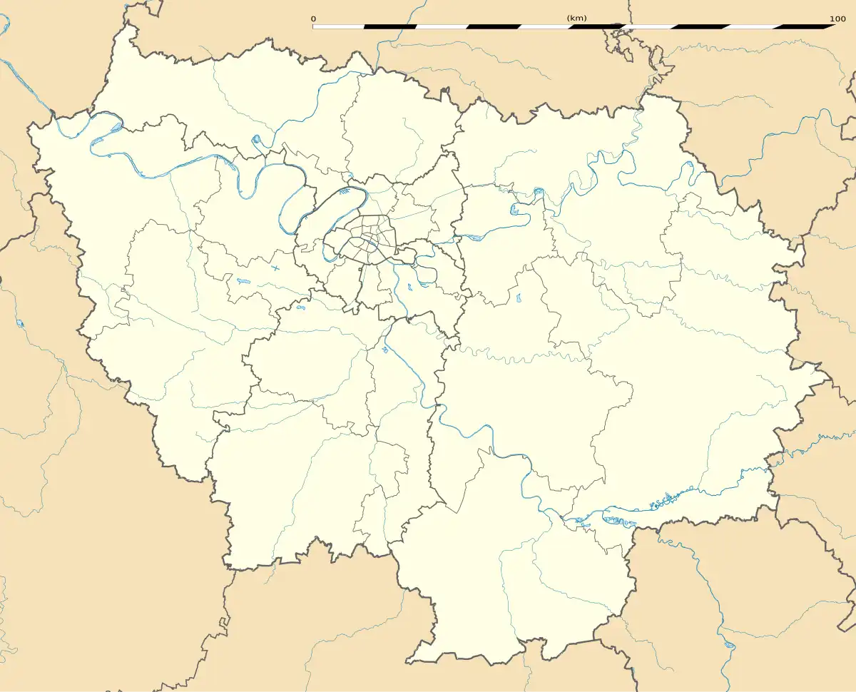 Châtillon-la-Borde | |
| Coordinates: 48°32′33″N 2°48′26″E / 48.5426°N 2.8072°E | |
| Country | France |
| Region | Île-de-France |
| Department | Seine-et-Marne |
| Arrondissement | Melun |
| Canton | Nangis |
| Intercommunality | CC Brie des Rivières et Châteaux |
| Government | |
| • Mayor (2020–2026) | Hubert Caseaux[1] |
Area 1 | 7.25 km2 (2.80 sq mi) |
| Population (2022)[2] | 224 |
| • Density | 31/km2 (80/sq mi) |
| Time zone | UTC+01:00 (CET) |
| • Summer (DST) | UTC+02:00 (CEST) |
| INSEE/Postal code | 77103 /77820 |
| Elevation | 86–116 m (282–381 ft) |
| 1 French Land Register data, which excludes lakes, ponds, glaciers > 1 km2 (0.386 sq mi or 247 acres) and river estuaries. | |
Châtillon-la-Borde (French pronunciation: [ʃatijɔ̃ la bɔʁd] ⓘ) is a commune in the Seine-et-Marne department in the Île-de-France region in north-central France.
Demographics
The inhabitants are called Châtillonais-Labordillois.
See also
References
- ^ "Répertoire national des élus: les maires" (in French). data.gouv.fr, Plateforme ouverte des données publiques françaises. 13 September 2022.
- ^ "Populations de référence 2022" (in French). The National Institute of Statistics and Economic Studies. 19 December 2024.
External links
Wikimedia Commons has media related to Châtillon-la-Borde.
- 1999 Land Use, from IAURIF (Institute for Urban Planning and Development of the Paris-Île-de-France région) (in English)
- Base Mérimée: Search for heritage in the commune, Ministère français de la Culture. (in French)