Cerro de Coxóm
| Cerro de Coxóm | |
|---|---|
 Cerro de Coxóm Guatemala | |
| Highest point | |
| Elevation | 3,045 m (9,990 ft)[1] |
| Coordinates | 14°53′15″N 91°23′52″W / 14.88750°N 91.39778°W |
| Geography | |
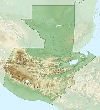
| Location | Totonicapán, Guatemala |
| Geology | |
| Mountain type | Stratovolcano |
| Last eruption | Unknown |
Cerro de Coxóm is a stratovolcano in Totonicapán in western Guatemala. The 3,045-metre-high (9,990 ft) volcano is located at the eastern edge of the valley of Quetzaltenango, in southwest Guatemala.[1]
See also
References
- ^ a b Bohnenberger, Otto H. "Los focos eruptivos cuaternarios de Guatemala". Guatemala: INSIVUMEH. Retrieved 2011-02-23.