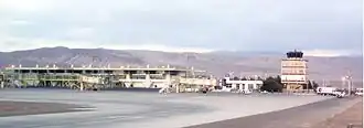
Andrés Sabella Gálvez International Airport
Andrés Sabella Gálvez International Airport former Cerro Moreno Intl Airport | |||||||||||
|---|---|---|---|---|---|---|---|---|---|---|---|
 | |||||||||||
| Summary | |||||||||||
| Airport type | Public | ||||||||||
| Operator | Sociedad Concesionaria Aeropuerto de Antofagasta S.A. | ||||||||||
| Serves | Antofagasta, Chile | ||||||||||
| Elevation AMSL | 455 ft / 139 m | ||||||||||
| Coordinates | 23°26′40″S 70°26′42″W / 23.44444°S 70.44500°W | ||||||||||
| Website | https://www.aeropuertoantofagasta.cl/ | ||||||||||
| Map | |||||||||||
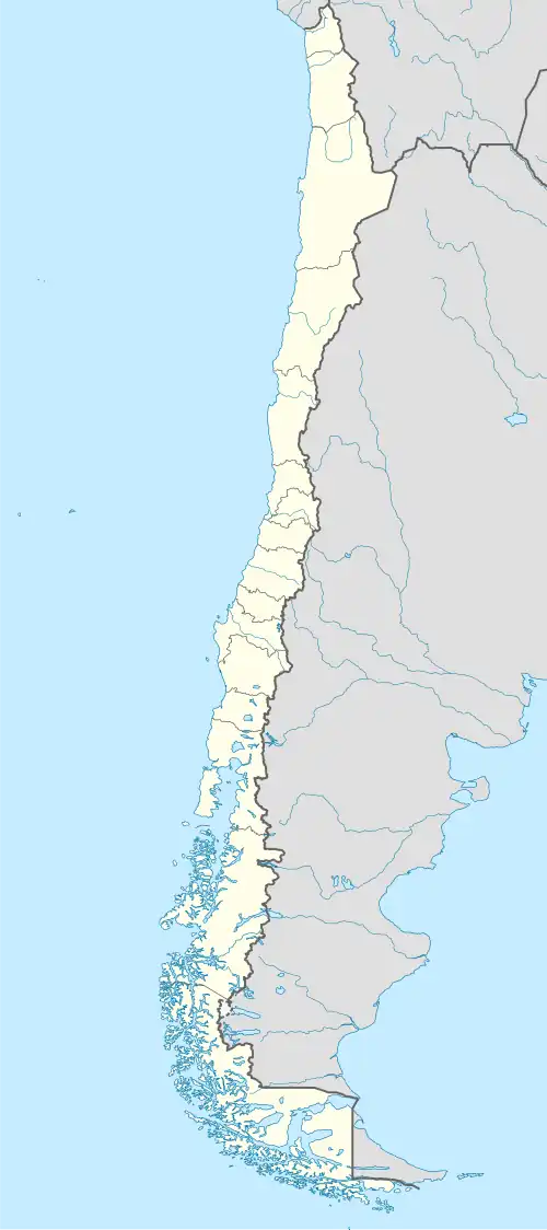 ANF Location of airport in Chile | |||||||||||
| Runways | |||||||||||
| |||||||||||
Sources: GCM[2] | |||||||||||
Andrés Sabella Gálvez International Airport (IATA: ANF, ICAO: SCFA) is an airport serving Antofagasta, capital of the Antofagasta Region of Chile. It is 10 kilometres (6.2 mi) north of Antofagasta and 3 kilometres (1.9 mi) inland from the Pacific coastline.
Airlines and destinations
| Airlines | Destinations |
|---|---|
| JetSmart Chile | Cali, Concepción, La Serena, Santiago de Chile |
| LATAM Chile | Concepción, La Serena, Lima, Santiago de Chile |
| Sky Airline | La Serena, Santiago de Chile |
See also
References
- ^ Oakley, T. (November 1993). "Instrument and Observing Methods – Report No. 56". World Meteorological Organization. p. 14. Archived from the original on 21 November 2021.
- ^ Airport information for Andrés Sabella Gálvez Int'l Airport at Great Circle Mapper.
External links
- Aeronautical chart and airport information for Andres Sabella Airport at SkyVector
- Cerro Moreno Airport at FallingRain
- Airport record for Aeropuerto Cerro Moreno at Landings.com
- Accident history for Cerro Moreno Airport at Aviation Safety Network
- Current weather for Antofagasta at NOAA/NWS