Castellum of Băile Homorod
| Castellum of Băile Homorod | |
|---|---|
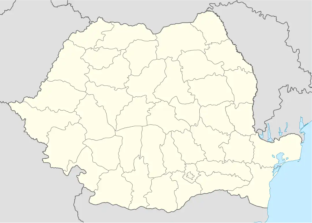 Location within Romania | |
| Founded | 2nd century AD [1] |
| Abandoned | 2nd century AD [1] |
| Place in the Roman world | |
| Province | Dacia |
| Administrative unit | Dacia Apulensis |
| Administrative unit | Dacia Superior |
| Structure | |
| — Stone? structure — | |
| Size and area | 24 m × 24 m (0.05 [1] ha) |
| Location | |
| Coordinates | 46°21′00″N 25°28′05″E / 46.3500°N 25.4681°E |
| Town | Băile Homorod |
| County | Harghita |
| Country | |
| Reference | |
| RO-RAN | 83767.02 [1] |
| UNESCO | |
| Part of | Frontiers of the Roman Empire – Dacia |
| Criteria | Cultural: ii, iii, iv |
| Reference | 1718-222 |
| Inscription | 2024 (46th Session) |
| Site notes | |
| Recognition | |
| Condition | Ruined |
The fortification is located in Băile Homorod, Romania, and it has as defense: ditch, berm and rampart.[1]
See also
External links
- Roman castra from Romania - Google Maps / Earth Archived 2012-12-05 at archive.today
Notes
- ^ a b c d e "Fortificaţia romană de la Băile Homorod". National Archaeological Record of Romania (RAN). ran.cimec.ro. 2013-07-13. Archived from the original on 2014-02-19. Retrieved 2014-01-02.