Castel Colonna
Castel Colonna | |
|---|---|
| former Comune di Castel Colonna | |
 Coat of arms | |
Location of Castel Colonna | |
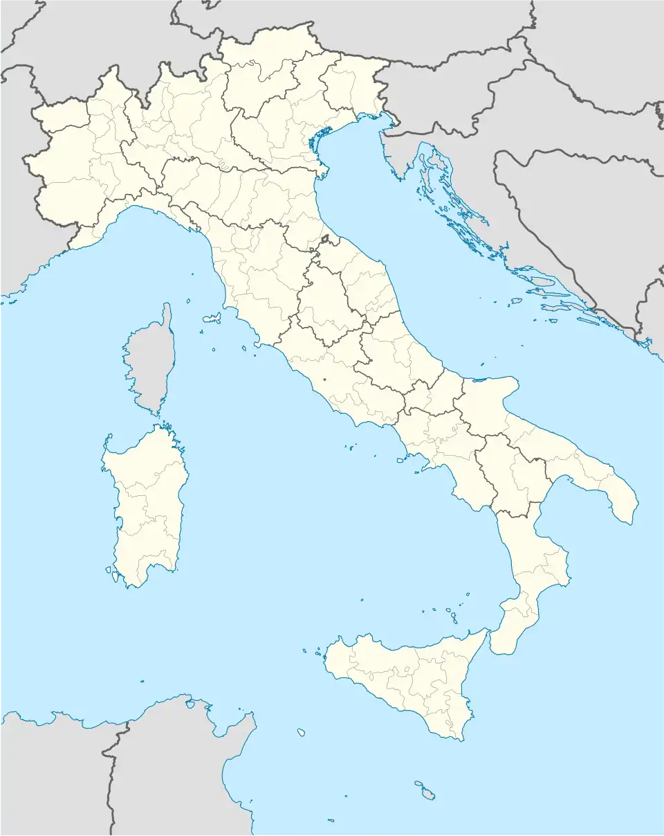 Castel Colonna Location of Castel Colonna in Italy 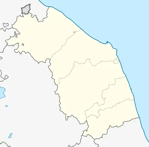 Castel Colonna Castel Colonna (Marche) | |
| Coordinates: 43°40′43″N 13°6′25″E / 43.67861°N 13.10694°E | |
| Country | Italy |
| Region | Marche |
| Province | Ancona (AN) |
| Frazioni | Croce, Francavilla, Giombino |
| Government | |
| • Mayor | Massimo Lorenzetti |
| Area | |
• Total | 13.3 km2 (5.1 sq mi) |
| Elevation | 125 m (410 ft) |
| Population (28 February 2009)[2] | |
• Total | 1,069 |
| • Density | 80/km2 (210/sq mi) |
| Demonym | Castelcolonnesi |
| Time zone | UTC+1 (CET) |
| • Summer (DST) | UTC+2 (CEST) |
| Postal code | 60010 |
| Dialing code | 071 |
| Patron saint | Santa Marina |
| Saint day | 17 July |
Castel Colonna was a comune (municipality) in the Province of Ancona in the Italian region Marche, located about 35 kilometres (22 mi) west of Ancona. It was called Tomba di Senigallia until 1921.[2]
The municipality of Castel Colonna was disbanded 1 January 2014[3] and united to Ripe and Monterado in the new municipality of Trecastelli.
Town hall of the new administration was set in former Ripe's offices in Piazza Castello.
References
- ^ "Superficie di Comuni Province e Regioni italiane al 9 ottobre 2011". Italian National Institute of Statistics. Retrieved 16 March 2019.
- ^ a b All demographics and other statistics: Italian statistical institute Istat.
- ^ Legge regionale n. 18/2013