Casa Branca, Sousel
Casa Branca | |
|---|---|
 Coat of arms | |
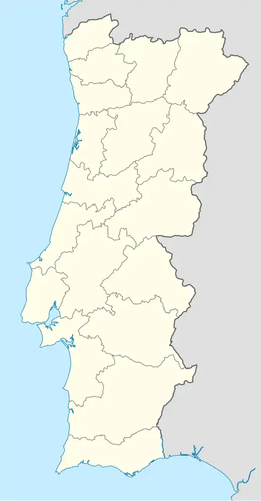 Casa Branca Location in Portugal | |
| Coordinates: 38°57′00″N 7°48′33″W / 38.949935°N 7.809054°W | |
| Country | |
| Region | Alentejo |
| Intermunic. comm. | Alto Alentejo |
| District | Portalegre |
| Municipality | Sousel |
| Population (2011) | |
• Total | 1,232 |
| Time zone | UTC+00:00 (WET) |
| • Summer (DST) | UTC+01:00 (WEST) |
| Postal code | 7470 |
Casa Branca (English: White House) is a civil parish in the municipality of Sousel.[1][2][3]
Location and statistics
-
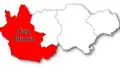 Location in Sousel Municipality
 -
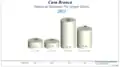
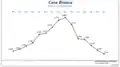 Population by year
 -
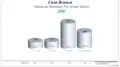 Population by age group in 2001
 -
 Population by age group in 2011
References
- ^ "Município do Sousel". Sousel Municipality (in Portuguese). Retrieved 6 July 2016.
- ^ "Junta de Freguesia de Casa Branca". Páginas Amarelas (yellow pages) (in Portuguese). Archived from the original on 17 September 2016. Retrieved 6 July 2016.
- ^ "Código Postal da Rua do Posto". Código Postal (in Portuguese). Retrieved 6 July 2016.