Canterwood, Washington
Canterwood, Washington | |
|---|---|
 Canterwood, Washington | |
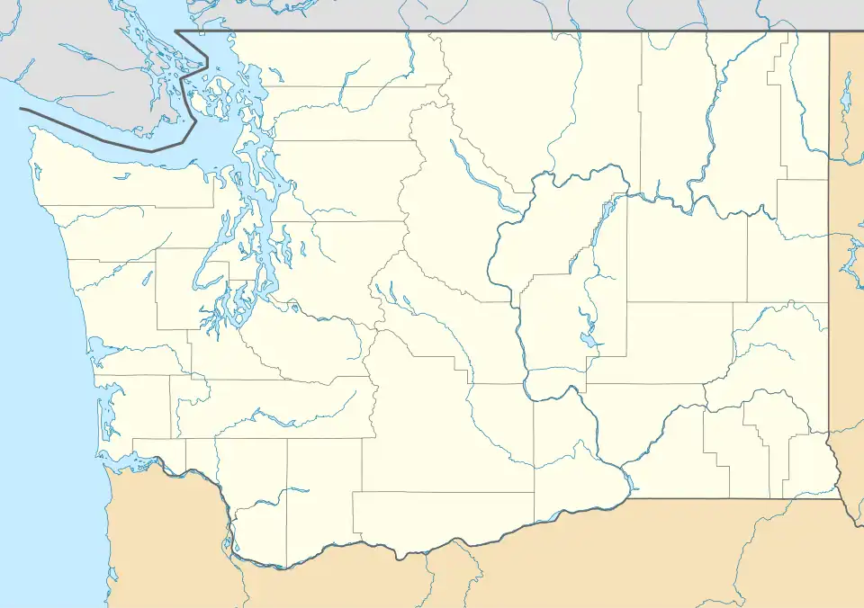
| Coordinates: 47°22′21″N 122°36′06″W / 47.37250°N 122.60167°W[1] | |
| Country | United States |
| State | Washington |
| County | Pierce |
| Area | |
• Total | 2.17 sq mi (5.6 km2) |
| Elevation | 351 ft (107 m) |
| Population (2010) | |
• Total | 3,076 |
| • Density | 1,400/sq mi (550/km2) |
| Time zone | Pacific |
| ZIP code | 98332[2] |
| Area code | 253 |
| GNIS feature ID | 2584955[1] |
Canterwood is a census-designated place (CDP) located in Pierce County, Washington.
Demographics
In 2010, it had a population of 3,079 inhabitants. Of those, 1,473 are male and 1,606 are female.
References
- ^ a b c U.S. Geological Survey Geographic Names Information System: Canterwood, Washington
- ^ "Canterwood WA ZIP Code". zipdatamaps.com. 2023. Retrieved June 16, 2023.
Municipalities and communities of Pierce County, Washington, United States | ||
|---|---|---|
| Cities | 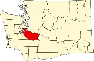 | |
| Towns | ||
| CDPs |
| |
| Other communities | ||
| Indian reservation | ||
| Military bases | ||
| Ghost towns | ||
| Footnotes | ‡This populated place also has portions in an adjacent county or counties | |