Campos Novos Paulista
Campos Novos Paulista | |
|---|---|
 Flag  Coat of arms | |
 Location in São Paulo state | |
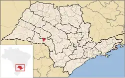
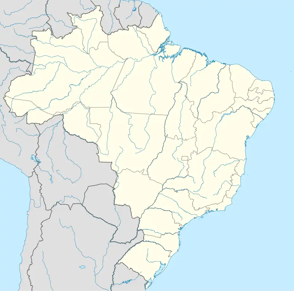 Campos Novos Paulista Location in Brazil | |
| Coordinates: 22°36′11″S 50°0′9″W / 22.60306°S 50.00250°W | |
| Country | Brazil |
| Region | Southeast |
| State | São Paulo |
| Area | |
• Total | 484 km2 (187 sq mi) |
| Population (2020 [1]) | |
• Total | 4,997 |
| • Density | 10/km2 (27/sq mi) |
| Time zone | UTC−3 (BRT) |
Campos Novos Paulista is a municipality in the state of São Paulo in Brazil. As of the 2020 estimate, the population is 4,997, and the municipality covers an area of 484 square kilometres (187 sq mi).[2] The elevation is 446 metres (1,463 ft).
History
Originally named Campos Novos do Paranapanema in 1880, the municipality's name was later simplified to Campos Novos and finally changed to its current name around 1940. The region was originally inhabited by the Caingangues people and was later colonized by immigrants. The land was primarily used for coffee production.[3]
The municipality was established in 1885 and re-established through state law in 1948.[4]
_1950%252C_Acervo_do_Museu_Paulista_da_USP.jpg)
Media
In telecommunications, the city was served by Companhia de Telecomunicações do Estado de São Paulo until 1973, when it began to be served by Telecomunicações de São Paulo.[5] In July 1998, the company was acquired by Telefônica, which introduced the Vivo brand in 2012. Today, the company operates cellular services, fixed lines, internet (fiber optics and 4G), and television (satellite and cable).[6]
See also
References
- ^ IBGE 2020
- ^ Instituto Brasileiro de Geografia e Estatística
- ^ "História do município".
- ^ "Municípios Paulistas". www.al.sp.gov.br (in Portuguese). Retrieved 2024-06-26.
- ^ "Creation of Telesp - April 12, 1973". www.imprensaoficial.com.br (in Portuguese). Retrieved 2024-05-26.
- ^ "Our History - Telefônica RI". Telefônica. Retrieved 2024-05-26.
External links
- Campos Novos Paulista municipality webpage in Brazilian Portuguese