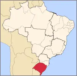
Campestre da Serra (literally a field surrounded by forest and mountains) is a municipality in the southern state of Rio Grande do Sul, Brazil. It is 2526 feet above sea level. As of 2020, the estimated population was 3,395.[1]
Geography
Climate
| Campestre da Serra
|
|---|
| Climate chart (explanation) |
|---|
|
| Imperial conversion |
|---|
| J | F | M | A | M | J | J | A | S | O | N | D |
|
|
|
|
|
|
|
|
|
|
|
|
| █ Average max. and min. temperatures in °F |
| █ Precipitation totals in inches |
|
See also
References
|
|---|
|
| |
|
|---|
| Cachoeira do Sul | |
|---|
| Lajeado-Estrela | |
|---|
| Santa Cruz do Sul | |
|---|
|
|
|
|---|
| Camaquã | |
|---|
| Gramado-Canela | |
|---|
| Montenegro | |
|---|
| Osório | |
|---|
| Porto Alegre | |
|---|
| São Jerônimo | |
|---|
|
|
Mesoregion Nordeste Rio-Grandense |
|---|
| Caxias do Sul | |
|---|
| Guaporé | |
|---|
| Vacaria | |
|---|
|
|
|
|
|
28°47′42″S 51°05′34″W / 28.79500°S 51.09278°W / -28.79500; -51.09278