Calvert Beach, Maryland
Calvert Beach | |
|---|---|
 Calvert Beach | |
| Coordinates: 38°27′57″N 76°28′38″W / 38.46583°N 76.47722°W | |
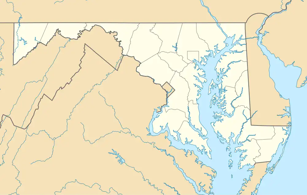
| Country | United States |
| State | Maryland |
| County | Calvert |
| Area | |
• Total | 0.82 sq mi (2.13 km2) |
| • Land | 0.82 sq mi (2.13 km2) |
| • Water | 0.00 sq mi (0.00 km2) |
| Elevation | 46 ft (14 m) |
| Population (2020) | |
• Total | 791 |
| • Density | 959.95/sq mi (370.80/km2) |
| Time zone | UTC−5 (Eastern (EST)) |
| • Summer (DST) | UTC−4 (EDT) |
| ZIP code | 20685[2] |
| Area codes | 410, 443, & 667 |
| GNIS feature ID | 589877[3] |
Calvert Beach is a census-designated place and unincorporated community in Calvert County, Maryland, United States. Its population was 808 as of the 2010 census.[4] Prior to 2010, the community was part of the Calvert Beach-Long Beach CDP.
Demographics
| Census | Pop. | Note | %± |
|---|---|---|---|
| 2020 | 791 | — | |
| U.S. Decennial Census[5] | |||
References
- ^ "2020 U.S. Gazetteer Files". United States Census Bureau. Retrieved April 26, 2022.
- ^ "Calvert Beach MD ZIP Code". zipdatamaps.com. 2023. Retrieved April 18, 2023.
- ^ "Calvert Beach". Geographic Names Information System. United States Geological Survey, United States Department of the Interior.
- ^ "U.S. Census website". United States Census Bureau. Retrieved May 14, 2011.
- ^ "Census of Population and Housing". Census.gov. Retrieved June 4, 2016.
Wikimedia Commons has media related to Calvert Beach, Maryland.
Municipalities and communities of Calvert County, Maryland, United States | ||
|---|---|---|
| Towns | 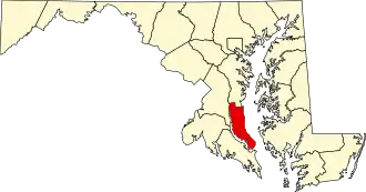 | |
| CDPs | ||
| Other communities | ||
| Ghost town | ||