Burnt Hills
| Burnt Hills | |
|---|---|
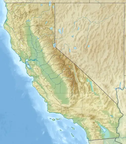 Burnt Hills Location of Burnt Hills in California[1] | |
| Highest point | |
| Elevation | 857 m (2,812 ft) |
| Geography | |
| Country | United States |
| State | California |
| District | Santa Clara County |
| Range coordinates | 37°24′35.769″N 121°33′3.795″W / 37.40993583°N 121.55105417°W |
| Topo map | USGS Eylar Mountain |
The Burnt Hills are a mountain range in Santa Clara County, California.[1]
References
- ^ a b "Burnt Hills". Geographic Names Information System. United States Geological Survey, United States Department of the Interior. Retrieved 2009-05-04.