Burekup, Western Australia
| Burekup Western Australia | |||||||||||||||
|---|---|---|---|---|---|---|---|---|---|---|---|---|---|---|---|
 | |||||||||||||||
 Burekup | |||||||||||||||
| Coordinates | 33°19′0″S 115°48′0″E / 33.31667°S 115.80000°E | ||||||||||||||
| Population | 591 (UCL 2021)[1] | ||||||||||||||
| Established | 1973 | ||||||||||||||
| Postcode(s) | 6227 | ||||||||||||||
| Elevation | 23 m (75 ft) | ||||||||||||||
| Area | 40.5 km2 (15.6 sq mi) | ||||||||||||||
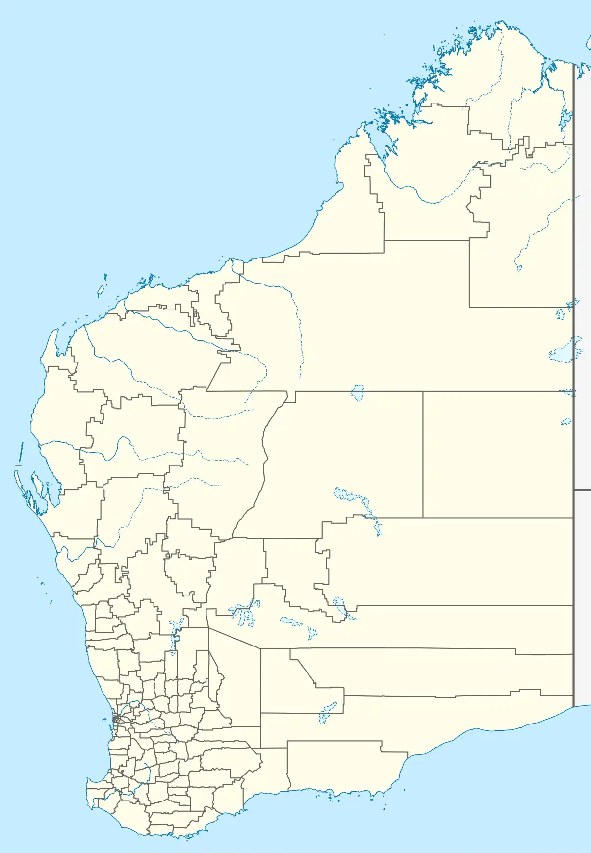
| Location |
| ||||||||||||||
| LGA(s) | Shire of Dardanup | ||||||||||||||
| State electorate(s) | Collie-Preston | ||||||||||||||
| Federal division(s) | Forrest | ||||||||||||||
| |||||||||||||||
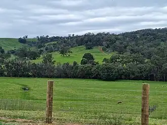
Burekup is a small town located on the South Western Highway in the South West region of Western Australia.
The town is built on the Collie River and was originally a railway siding on the Pinjarra-Picton line that was established in 1910 and known at the time as Boorekup. Following a request from the Shire of Dardanup, the town was gazetted in 1973.[2]
Burekup is located on the traditional land of the Noongar people.[3][4] "Boorekup" is the Aboriginal Australian name for a wildflower that grows in the area.[2]
References
- ^ Australian Bureau of Statistics (28 June 2022). "Burekup (urban centre and locality)". Australian Census 2021.
- ^ a b "History of country town names – B". Western Australian Land Information Authority. Archived from the original on 14 March 2022. Retrieved 5 October 2008.
- ^ "Map of Indigenous Australia". aiatsis.gov.au. Australian Institute of Aboriginal and Torres Strait Islander Studies. Retrieved 17 July 2024.
- ^ "Catalog of Australian Aboriginal Tribes". www.samuseum.sa.gov.au. South Australian Museum. Retrieved 17 July 2024.