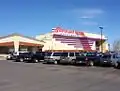
Bridgetown, Mississippi
Bridgetown, Mississippi | |
|---|---|
 Bridgetown | |
| Coordinates: 34°53′25″N 89°54′24″W / 34.89028°N 89.90667°W | |
| Country | United States |
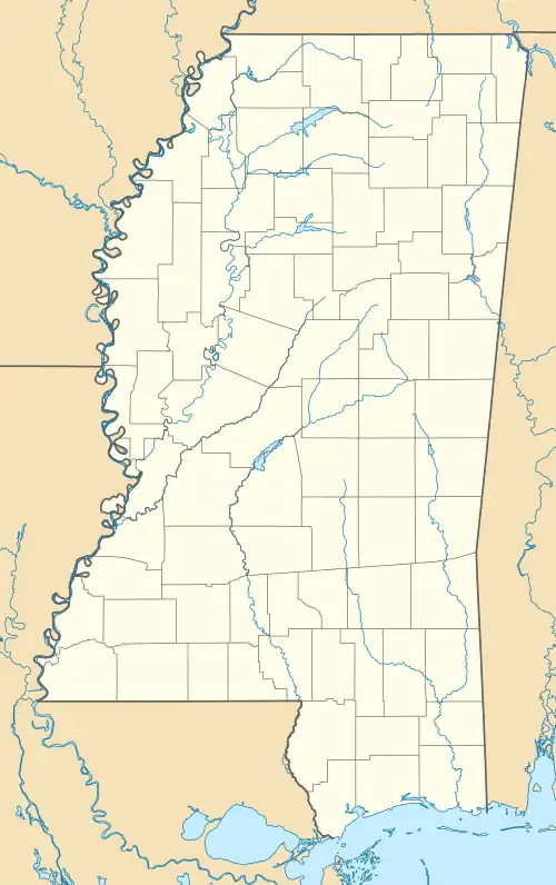
| State | Mississippi |
| County | Desoto |
| Area | |
• Total | 2.27 sq mi (5.89 km2) |
| • Land | 2.17 sq mi (5.62 km2) |
| • Water | 0.10 sq mi (0.27 km2) |
| Elevation | 374 ft (114 m) |
| Population (2020) | |
• Total | 2,281 |
| • Density | 1,051.64/sq mi (406.06/km2) |
| Time zone | UTC-6 (Central (CST)) |
| • Summer (DST) | UTC-5 (CDT) |
| ZIP code | 38651 |
| Area code | 662 |
| GNIS feature ID | 2586584[2] |
Bridgetown is an unincorporated community and census-designated place (CDP) in Desoto County, Mississippi, United States. As of the 2010 census, it had a population of 1,742.[3] Bridgetown is approximately 6 miles (10 km) east of Nesbit and 3.5 miles (5.6 km) south-southwest of Pleasant Hill.
Demographics
| Census | Pop. | Note | %± |
|---|---|---|---|
| 2020 | 2,281 | — | |
| U.S. Decennial Census[4] | |||
References
- ^ "2020 U.S. Gazetteer Files". United States Census Bureau. Retrieved July 24, 2022.
- ^ a b U.S. Geological Survey Geographic Names Information System: Bridgetown, Mississippi
- ^ "Geographic Identifiers: 2010 Demographic Profile Data (G001): Bridgetown CDP, Mississippi". U.S. Census Bureau, American Factfinder. Archived from the original on February 13, 2020. Retrieved November 2, 2015.
- ^ "Census of Population and Housing". Census.gov. Retrieved June 4, 2016.
Municipalities and communities of DeSoto County, Mississippi, United States | ||
|---|---|---|
| Cities | 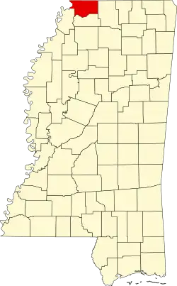 | |
| Town | ||
| CDPs | ||
| Other communities | ||
| Former community | ||