Brantleyville, Alabama
Brantleyville, Alabama | |
|---|---|
 Location of Brantleyville in Shelby County, Alabama. | |
 Brantleyville, Alabama  Brantleyville, Alabama | |
| Coordinates: 33°12′57″N 86°52′30″W / 33.21583°N 86.87500°W | |
| Country | United States |
| State | Alabama |
| County | Shelby |
| Area | |
• Total | 2.21 sq mi (5.71 km2) |
| • Land | 2.20 sq mi (5.69 km2) |
| • Water | 0.01 sq mi (0.03 km2) |
| Elevation | 554 ft (169 m) |
| Population (2020) | |
• Total | 931 |
| • Density | 423.95/sq mi (163.68/km2) |
| Time zone | UTC-6 (Central (CST)) |
| • Summer (DST) | UTC-5 (CDT) |
| Area codes | 205, 659 |
| GNIS feature ID | 121304[2] |
Brantleyville is a census-designated place and Unincorporated community in Shelby County, Alabama, United States. Its population was 884 as of the 2010 census.[3]
Demographics
| Census | Pop. | Note | %± |
|---|---|---|---|
| 2020 | 931 | — | |
| U.S. Decennial Census[4] | |||
References
- ^ "2020 U.S. Gazetteer Files". United States Census Bureau. Retrieved October 29, 2021.
- ^ "Brantleyville". Geographic Names Information System. United States Geological Survey, United States Department of the Interior.
- ^ "U.S. Census website". United States Census Bureau. Retrieved May 14, 2011.
- ^ "Census of Population and Housing". Census.gov. Retrieved June 4, 2016.
Municipalities and communities of Shelby County, Alabama, United States | ||
|---|---|---|
| Cities | 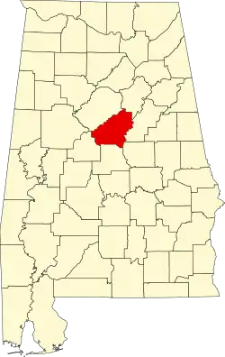 | |
| Towns | ||
| CDPs | ||
| Other unincorporated communities | ||
| Footnotes | ‡This populated place also has portions in an adjacent county or counties | |