Bowmans Addition, Maryland
Bowmans Addition, Maryland | |
|---|---|
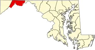
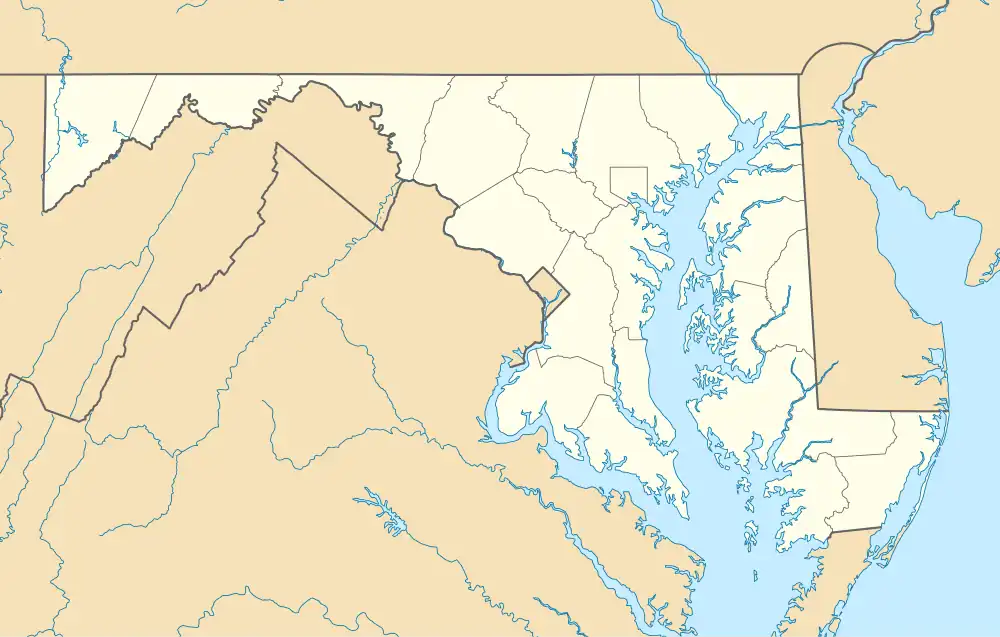 Location within the State of Maryland  Bowmans Addition, Maryland (the United States) | |
| Coordinates: 39°41′20″N 78°45′08″W / 39.68889°N 78.75222°W | |
| Country | |
| State | |
| County | |
| Area | |
• Total | 1.12 sq mi (2.90 km2) |
| • Land | 1.12 sq mi (2.90 km2) |
| • Water | 0.00 sq mi (0.00 km2) |
| Elevation | 922 ft (281 m) |
| Population (2020) | |
• Total | 584 |
| • Density | 521.43/sq mi (201.39/km2) |
| Time zone | UTC−5 (Eastern (EST)) |
| • Summer (DST) | UTC−4 (EDT) |
| ZIP code | 21502[3] |
| Area codes | 240 and 301 |
| FIPS code | 24-08862 |
| GNIS feature ID | 2583588[2] |
Bowmans Addition is an unincorporated community and census-designated place (CDP) in Allegany County, Maryland, United States. As of the 2020 census it had a population of 584.[4] It is located north of Cumberland in a valley bounded by Wills Mountain to the northwest and Shriver Ridge to the southeast.
Demographics
| Census | Pop. | Note | %± |
|---|---|---|---|
| 2010 | 627 | — | |
| 2020 | 584 | −6.9% | |
| U.S. Decennial Census[5] | |||
References
- ^ "2020 U.S. Gazetteer Files". United States Census Bureau. Retrieved April 26, 2022.
- ^ a b U.S. Geological Survey Geographic Names Information System: Bowmans Addition, Maryland
- ^ "Bowmans Addition MD ZIP Code". zipdatamaps.com. 2023. Retrieved April 18, 2023.
- ^ "Bowmans Addition CDP, Maryland - Census Bureau Profile". data.census.gov. Retrieved May 8, 2022.
- ^ "Census of Population and Housing". Census.gov. Retrieved June 4, 2016.