Bolderslev
Bolderslev
Bollersleben (German) | |
|---|---|
Town | |
 | |
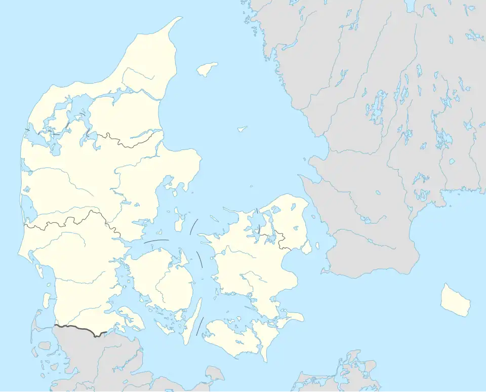 Bolderslev Location in Denmark .svg.png) Bolderslev Bolderslev (Region of Southern Denmark) | |
| Coordinates: 54°59′24″N 9°16′45″E / 54.99000°N 9.27917°E | |
| Country | Denmark |
| Region | Southern Denmark |
| Municipality | Aabenraa |
| Area | |
| • Urban | 1.4 km2 (0.5 sq mi) |
| Population (2025)[1] | |
| • Urban | 1,116 |
| • Urban density | 800/km2 (2,100/sq mi) |
| Time zone | UTC+1 (CET) |
| • Summer (DST) | UTC+2 (CEST) |
| Postal code | DK-6392 Bolderslev |
| Website | www |
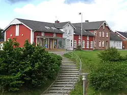
Bolderslev (German: Bollersleben) is a town in Aabenraa Municipality, within the Region of Southern Denmark. It had a population of 1,116 as of 1 January, 2025.[1] It is the main town in Bjolderup Parish.
Bolderslev is located 7 kilometers away from Tinglev, 7 kilometers from Hjordkær, 12 kilometers from Aabenraa, and 23 kilometers from Padborg.
Bolderslev was previously a railway town on the East Jutland Line between Tinglev and Rødekro, but the railway station has now been closed and demolished. The double-track railway and the heavily used Hellevad-Bov road divide the town into three smaller parts. A few kilometers southeast of Bolderslev is the memorial for the old South Jutland courthouse Urnehoved[2] and south of the town are 18 burial mounds from ancient times, of which Toppehøj and Bredhøj are among the largest. Three kilometers west of Bolderslev is the Bjolderup Church[3] of the Bjolderup Parish.
The headquarters of Kohberg Bakery Group is located in the town.
References
- ^ a b BY3: Population 1. January by urban areas, area and population density The Mobile Statbank from Statistics Denmark
- ^ Urnehoved Tingsted VisitSønderjylland
- ^ Bjolderup Church VisitSønderjylland
| Towns & villages |  | |
|---|---|---|
| Nature & geography |
| |
| Transport & infrastructure | ||