Blea Tarn (Eskdale)
| Blea Tarn | |
|---|---|
_-_geograph.org.uk_-_1042402.jpg) | |
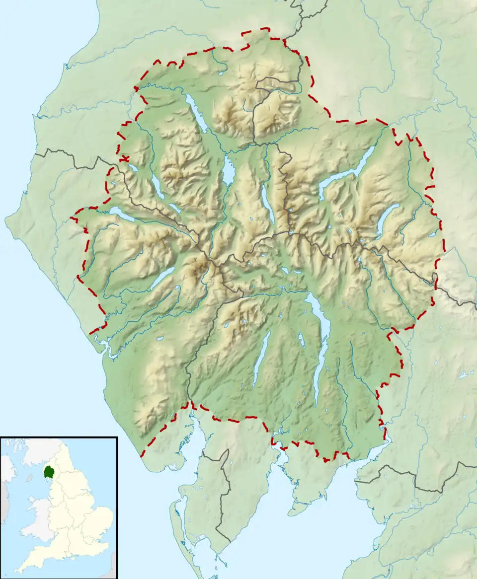 Blea Tarn Location in the Lake District 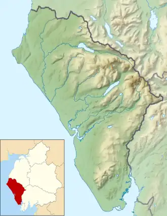 Blea Tarn Location in Copeland Borough | |
| Location | Lake District, Cumbria |
| Coordinates | 54°23′51″N 3°17′10″W / 54.39750°N 3.28611°W |
| Type | Tarn |
| Basin countries | United Kingdom |
| Max. length | 277 m (909 ft) |
| Max. width | 150 m (490 ft) |
| Surface area | 3.3 hectares (8.2 acres) |
| Max. depth | 11 m (36 ft) |
| Surface elevation | 217 m (712 ft) |
Blea Tarn is a lake in Eskdale, Cumbria, in the English Lake District, located about half a mile north of Beckfoot. Located at an elevation of 217 m (712 ft), the lake has an area of 3.3 hectares (8.2 acres) and measures 277 m × 150 m (909 ft × 492 ft), with a maximum depth of 11 m (36 ft).[1]
There are other lakes called "Blea Tarn" in the Lake District (in Borrowdale and Little Langdale). John Taylor commented in 1905 that
in the ... days when place-names were being given, the inhabitants of one of our secluded valleys were so cut off from their fellows that they would call a rock Eagle Crag or a small sheet of water Blea Tarn, quite unaware that on the other side of the hill the same titles were being afiixed to other cliffs and waters.[2]
_-_geograph.org.uk_-_1042399.jpg)
References
- ^ "Blea Tarn". f22.org.uk. Retrieved 25 July 2012.
- ^ Taylor, J., The Message of Micah, The Biblical World, March 1905, volume 25, No. 3 (March 1905), p. 201, accessed on 3 September 2024