Blåhøe, Vågå
| Blåhøe | |
|---|---|
| Blåhø (unofficial)[1] | |
Interactive map of the mountain | |
| Highest point | |
| Elevation | 1,617 m (5,305 ft)[3] |
| Prominence | 761 m (2,497 ft)[3] |
| Isolation | 17.3 km (10.7 mi)[3] |
| Coordinates | 61°53′50″N 9°17′06″E / 61.89709°N 9.28508°E[2] |
| Geography | |
| Location | Innlandet, Norway |
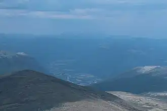
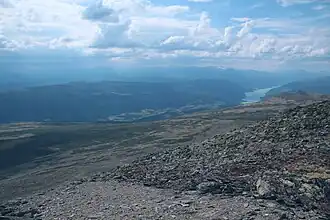
Blåhøe[1] is a mountain in Innlandet county in Norway. The 1,617-metre (5,305 ft) tall mountain is located on the border of Vågå Municipality and Dovre Municipality. It is located about 10 kilometres (6.2 mi) south of the village of Dovre and about 10 kilometres (6.2 mi) east of the village of Vågåmo. The European route E6 highway runs past the east side of the mountain.
Media gallery
-
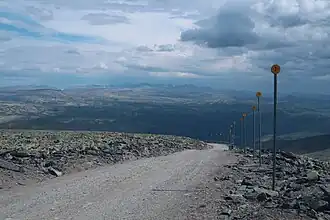
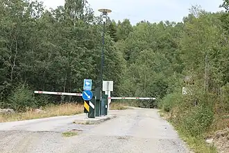 Tollroad
 -
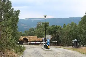 Tollroad
 -
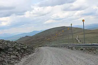
 Radiolink
 -
 Radiolink
 -
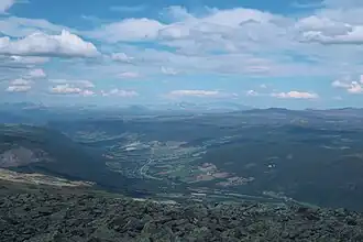 Gubrandsdalen
 -
 Mountainpeaks
 -
 Otta
Otta -
 Lom
Lom -
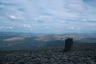
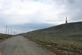
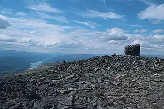 The top
 -
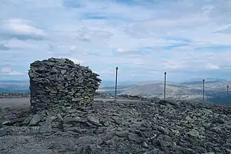 The top
 -
 Road down
 -
 Road up
 -
 Road down
 -
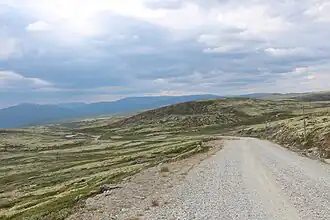 Road down
See also
References
External links