Bevercotes
| Bevercotes | |
|---|---|
| Civil parish | |
Parish map | |
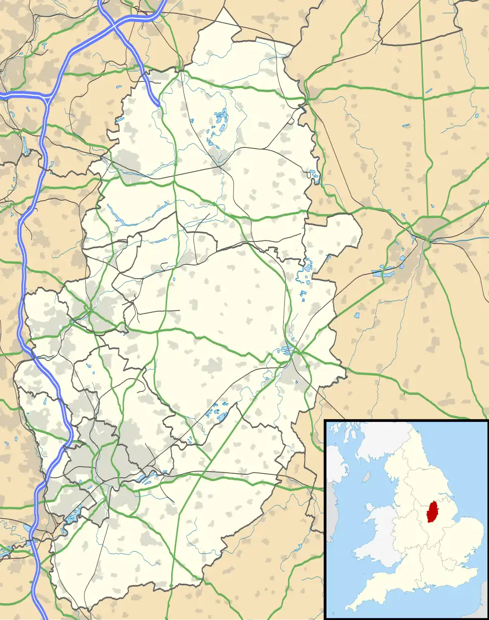 Bevercotes Location within Nottinghamshire | |
| Area | 1.14 sq mi (3.0 km2) |
| Population | 19 |
| • Density | 17/sq mi (6.6/km2) |
| OS grid reference | SK5548 |
| • London | 125 mi (201 km) SE |
| District | |
| Shire county | |
| Region | |
| Country | England |
| Sovereign state | United Kingdom |
| Post town | Newark |
| Postcode district | NG22 |
| Dialling code | 01623 |
| Police | Nottinghamshire |
| Fire | Nottinghamshire |
| Ambulance | East Midlands |
| UK Parliament | |
Bevercotes is a hamlet and civil parish in the Bassetlaw district of Nottinghamshire, England, about six miles south of East Retford and five miles north-east of Ollerton.[1][2] According to the 2001 census it had a population of 28. The population remained less than 100 at the 2011 Census and was included in the civil parish of Bothamsall.[3] In 2021 it was reported as having 19 residents.[4]
The former Bevercotes Colliery was one of the first fully automated coal mines in the country.[5]
See also
References
- ^ Ordnance Survey: Landranger map sheet 120 Mansfield & Worksop (Sherwood Forest) (Map). Ordnance Survey. 2014. ISBN 9780319242100.
- ^ "Ordnance Survey: 1:50,000 Scale Gazetteer" (csv (download)). www.ordnancesurvey.co.uk. Ordnance Survey. 1 January 2016. Retrieved 30 January 2016.
- ^ UK Census (2011). "Local Area Report – Bothamsall Parish (E04007794)". Nomis. Office for National Statistics. Retrieved 21 July 2019.
- ^ UK Census (2021). "2021 Census Area Profile – Bevercotes (E04007791)". Nomis. Office for National Statistics. Retrieved 16 January 2024.
- ^ Sandeman, Kit (24 August 2019). "What happened to the Nottinghamshire coal mines?". Nottingham Post. Retrieved 12 July 2020.
External links
Wikimedia Commons has media related to Bevercotes.