Benfica do Ribatejo
Benfica do Ribatejo | |
|---|---|
 Coat of arms | |
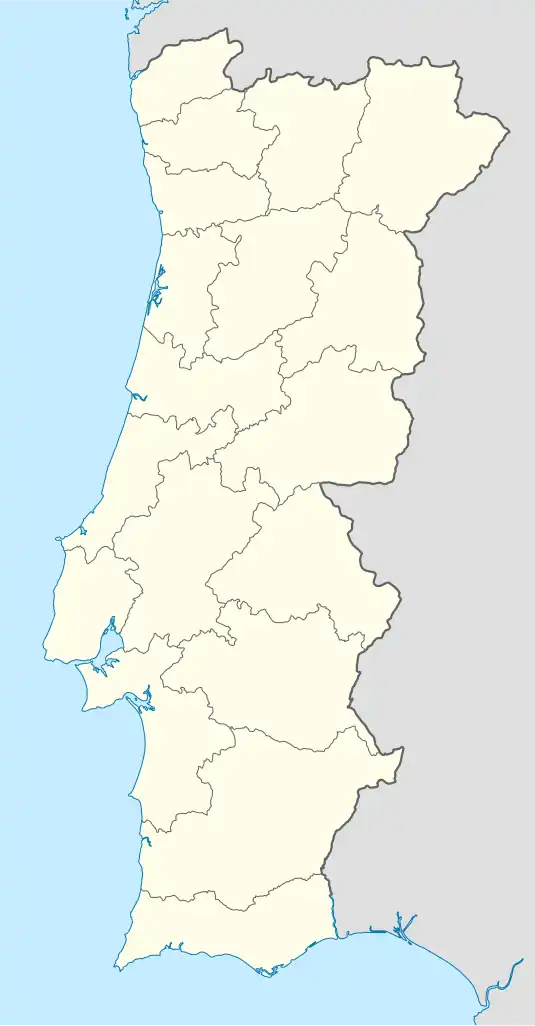 Benfica do Ribatejo Location in Portugal | |
| Coordinates: 39°08′N 8°41′W / 39.14°N 8.68°W | |
| Country | |
| Region | Oeste e Vale do Tejo |
| Intermunic. comm. | Lezíria do Tejo |
| District | Santarém |
| Municipality | Almeirim |
| Area | |
• Total | 29.27 km2 (11.30 sq mi) |
| Population (2011) | |
• Total | 3,067 |
| • Density | 100/km2 (270/sq mi) |
| Time zone | UTC+00:00 (WET) |
| • Summer (DST) | UTC+01:00 (WEST) |
Benfica do Ribatejo (European Portuguese: [bɐ̃jˈfikɐ ðu ʁiβɐˈtɛʒu]) is a town and a civil parish in the municipality of Almeirim, Portugal. The population in 2011 was 3,067,[1] in an area of 29.27 km².[2]
References
- ^ Instituto Nacional de Estatística
- ^ Eurostat Archived October 7, 2012, at the Wayback Machine