Bayad, Gujarat
Bayad
બાયડ | |
|---|---|
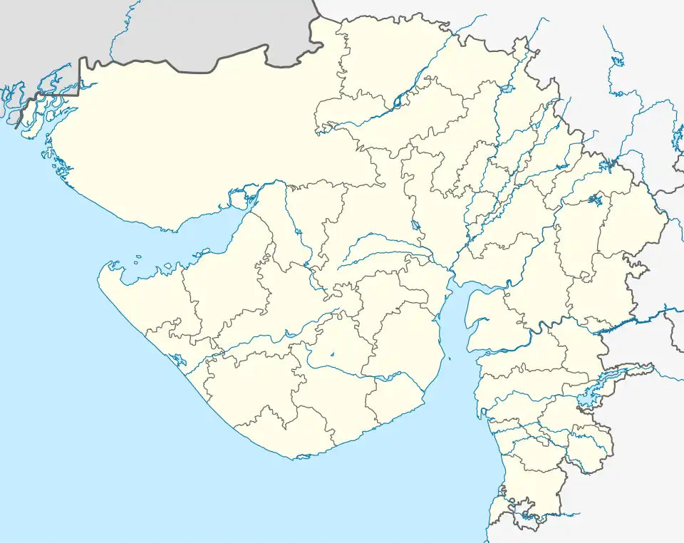 Bayad Location in Gujarat | |
| Coordinates: 23°13′12″N 73°12′58″E / 23.220°N 73.216°E | |
| Country | |
| State | Gujarat |
| District | Aravalli district |
| Population (2011) | |
• Total | 17,886 |
| Languages | |
| • Official | Gujarati |
| Time zone | UTC+5:30 (IST) |
| Postal Index Number | 383325 |
Bayad is a city in Aravalli district of Gujarat, India. It is the headquarters of a taluka of the same name. Prior to the formation of Aravalli district in 2013, Bayad was a part of Sabarkantha district.[1]
See also
References
- ^ "District Census Handbook: Sabar Kantha," Directorate of Census Operations, Gujarat, Census of India 2011, Government of India, 2011.