Bara Belun
Bara Belun | |
|---|---|
Village | |
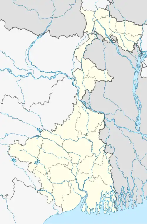 Bara Belun Location in West Bengal, India  Bara Belun Bara Belun (India) | |
| Coordinates: 23°24′10.8″N 87°58′30.5″E / 23.403000°N 87.975139°E | |
| Country | |
| State | West Bengal |
| District | Purba Bardhaman |
| Population (2011) | |
• Total | 11,261 |
| Languages | |
| • Official | Bengali, English |
| Time zone | UTC+5:30 (IST) |
| PIN | 713158 |
| Telephone/STD code | 0342 |
| Lok Sabha constituency | Bardhaman-Durgapur |
| Vidhan Sabha constituency | Bhatar |
| Website | purbabardhaman |
Bara Belun is a village in Bhatar, a community development block in Bardhaman Sadar North subdivision of Purba Bardhaman district in the state of West Bengal, India.
Demographics
The area of the village is 1777 hectares and the population was 11,261 in 2011.[1][2][3]
| Particulars | Total | Male | Female |
|---|---|---|---|
| Total no. of houses | 2,498 | - | - |
| Population | 11,261 | 5,705 | 5,556 |
| Child (0–6) | 1,148 | 591 | 557 |
| Schedule Caste | 4,163 | 2,085 | 2,078 |
| Schedule Tribe | 711 | 351 | 360 |
External links
References
- ^ "2011 Census – Primary Census Abstract Data Tables". West Bengal – District-wise. Registrar General and Census Commissioner, India. Retrieved 26 February 2017.
- ^ "District Statistical Handbook 2014 Bardhaman". Table 2.2. Department of Statistics and Programme Implementation, Government of West Bengal. Archived from the original on 21 January 2019. Retrieved 25 January 2019.
- ^ "District Census Handbook Barddhaman, Series 20 Part XII A, Census of India 2011" (PDF). Page 637: Map of Bhatar CD Block. Directorate of Census Operations 2011. Retrieved 21 January 2019.
Cities, towns and locations in Purba Bardhaman district, Burdwan division | ||||||||||
|---|---|---|---|---|---|---|---|---|---|---|
| Cities, municipal and census towns |
|  | ||||||||
| Locations other than cities and towns |
| |||||||||
| Related topics |
| |||||||||