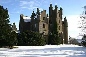
Balintore, Angus
Balintore
| |
|---|---|
 | |
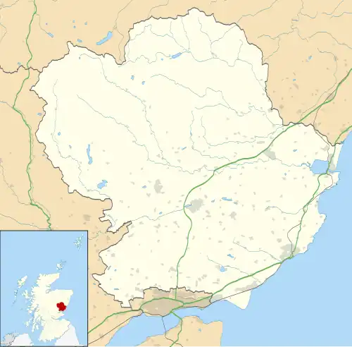 Balintore Location within Angus | |
| OS grid reference | NO287590 |
| Council area | |
| Lieutenancy area | |
| Country | Scotland |
| Sovereign state | United Kingdom |
| Post town | KIRRIEMUIR |
| Postcode district | DD8 |
| Dialling code | 01575 |
| Police | Scotland |
| Fire | Scottish |
| Ambulance | Scottish |
| UK Parliament | |
| Scottish Parliament | |
Balintore (Scottish Gaelic: Baile an Todhair) is a village in Angus, Scotland. It lies in Glen Isla, four miles north of the Loch of Lintrathen and seven miles west of Kirriemuir.[1] Approximately half a mile to the east is Knowehead of Auldallan farm, where there can be found a pair of uninscribed standing stones.[2]
References
- ^ "Dundee and Montrose, Forfar and Arbroath", Ordnance Survey Landranger Map (B2 ed.), 2007, ISBN 0-319-22980-7
- ^ "Auldallan". The Megalithic Portal. Retrieved 5 October 2010.
Wikimedia Commons has media related to Balintore, Angus.