Bágala
Bágala | |
|---|---|
 Bágala | |
| Coordinates: 8°28′12″N 82°31′48″W / 8.47000°N 82.53000°W | |
| Country | |
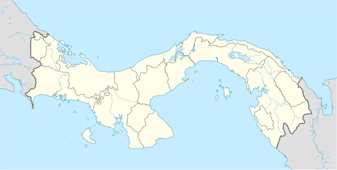
| Province | Chiriquí |
| District | Boquerón |
| Area | |
| • Land | 43.3 km2 (16.7 sq mi) |
| Population (2023)[1] | |
• Total | 5,113 |
| • Density | 118.0/km2 (306/sq mi) |
| Population density calculated based on land area. | |
| Time zone | UTC−5 (EST) |
| Climate | Am |
Bágala is a corregimiento in Boquerón District, Chiriquí Province, Panama. It has a land area of 43.3 square kilometres (16.7 sq mi) and had a population of 5,113 as of 2010, giving it a population density of 118.0 inhabitants per square kilometre (306/sq mi).[1] Its population as of 1990 was 1,653; its population as of 2000 was 2,038.[1]
References
- ^ a b c d "Cuadro 10. Superficie, población y densidad de población en la República..." [Table 10. Area, population, and population density in the Republic...] (.xls). In "Resultados Finales Básicos" [Basic Final Results] (in Spanish). National Institute of Statistics and Census of Panama. Retrieved Jun 10, 2025.
