Ayoun el Atrous
Ayoun el Atrous | |
|---|---|
 Rural Ayoun el Atrous | |
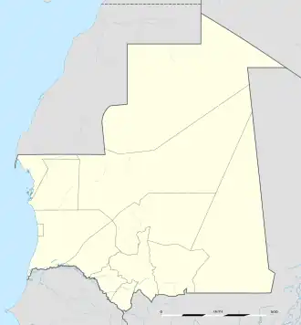 Ayoun el Atrous Location in Mauritania | |
| Coordinates: 16°40′N 9°37′W / 16.667°N 9.617°W | |
| Country | |
| Region | Hodh El Gharbi |
| Area | |
• City | 111.4 km2 (43.0 sq mi) |
| Elevation | 259 m (850 ft) |
| Population (2013 census) | |
• City | 24,199 |
| • Urban | 22,796 |
Ayoun al Atrous (also known as Aioun el Atrouss) (Arabic: عيون العتروس) is a town in southern Mauritania. It is located at around 16°40′0″N 9°37′0″W / 16.66667°N 9.61667°W. It is the capital of Hodh El Gharbi region.
The city is served by the Aioun el Atrouss Airport, 6 kilometres (4 mi) north-west of the city. The town is located in the southern area of the Aoukar, a former lake basin.[1]
Ayoun al Atrous was one of the stops in the 2007 Dakar Rally.
References