Ayagoz
Ayagoz
Аягөз • Aiagöz Аягоз (in Russian) | |
|---|---|
 Seal | |
 Ayagoz Location in Kazakhstan | |
| Coordinates: 47°58′0″N 80°26′0″E / 47.96667°N 80.43333°E | |
| Country | Kazakhstan |
| Region | Abai Region |
| Founded | 1831 |
| Incorporated (city) | 1939 |
| Government | |
| • Akim (mayor) | Mukhtarkhanov Anuarbek Mukhtarkhanuly |
| Area | |
• City | 161 km2 (62 sq mi) |
| Population (2009) | |
| • Metro | 37,537 |
| Time zone | UTC+6 (ALMT) |
| Postal code | F24**** |
| Area code | +7 72237 |
| Website | http://ayagos.vko.gov.kz/kz |
| Kazakh | |
Ayagoz or Ayakoz (Kazakh: Аягөз, Aiagöz), formerly Sergiopol (Russian: Сергиополь), is a city of regional significance in Kazakhstan, the administrative centre of Ayagoz district of Abai Region. Population: 37,537 (2009 census results);[1]38,470 (1999 census results).[1]
Geography
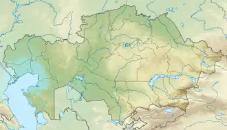
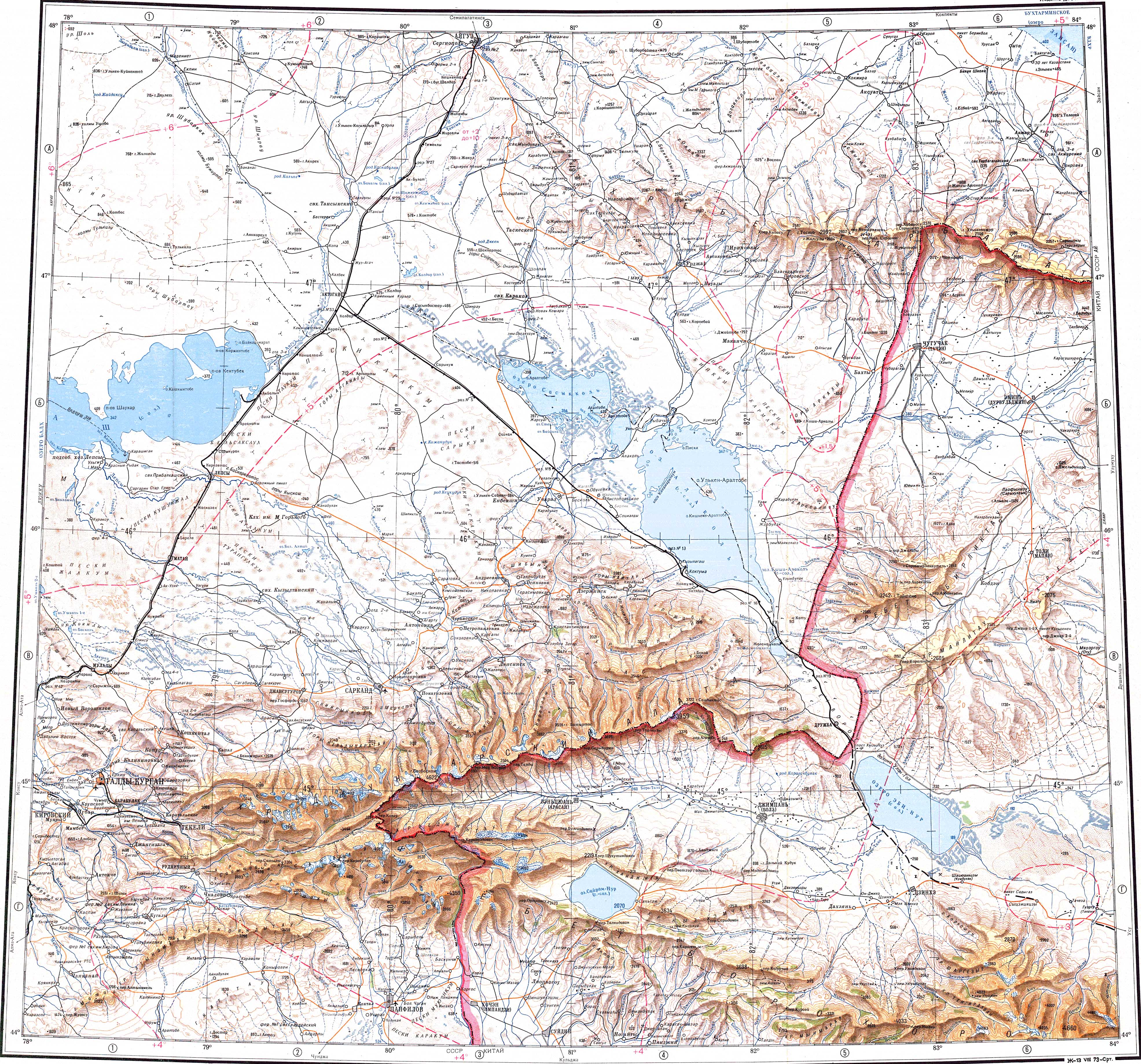
It is located at the southeastern end of the Chingiztau range, on the banks of the river Ayagöz.[2][3]
History
The town was incorporated in 1939 under the authority of the USSR.
In 1991 it became an administrative center of Ayagoz District.
Climate
Ayagoz has a cold semi-arid climate (Bsk) in the Köppen climate classification.
| Climate data for Ayagoz (1991–2020) | |||||||||||||
|---|---|---|---|---|---|---|---|---|---|---|---|---|---|
| Month | Jan | Feb | Mar | Apr | May | Jun | Jul | Aug | Sep | Oct | Nov | Dec | Year |
| Mean daily maximum °C (°F) | −10.3 (13.5) |
−7.3 (18.9) |
0.7 (33.3) |
14.3 (57.7) |
21.4 (70.5) |
26.8 (80.2) |
28.4 (83.1) |
27.4 (81.3) |
21.0 (69.8) |
12.6 (54.7) |
0.7 (33.3) |
−7.5 (18.5) |
10.7 (51.3) |
| Daily mean °C (°F) | −15.8 (3.6) |
−13.4 (7.9) |
−5.4 (22.3) |
7.0 (44.6) |
13.7 (56.7) |
19.4 (66.9) |
21.1 (70.0) |
19.5 (67.1) |
12.8 (55.0) |
4.9 (40.8) |
−5.3 (22.5) |
−12.8 (9.0) |
3.8 (38.8) |
| Mean daily minimum °C (°F) | −20.7 (−5.3) |
−18.7 (−1.7) |
−10.6 (12.9) |
0.4 (32.7) |
6.0 (42.8) |
11.9 (53.4) |
14.0 (57.2) |
11.7 (53.1) |
5.1 (41.2) |
−1.3 (29.7) |
−10.0 (14.0) |
−17.7 (0.1) |
−2.5 (27.5) |
| Average precipitation mm (inches) | 17.8 (0.70) |
15.7 (0.62) |
16.6 (0.65) |
21.5 (0.85) |
27.5 (1.08) |
31.5 (1.24) |
39.9 (1.57) |
22.3 (0.88) |
13.1 (0.52) |
24.9 (0.98) |
31.6 (1.24) |
24.8 (0.98) |
287.2 (11.31) |
| Average precipitation days (≥ 1.0 mm) | 5.4 | 4.6 | 4.0 | 4.4 | 4.6 | 4.8 | 6.1 | 3.4 | 2.7 | 5.1 | 6.6 | 7.2 | 58.9 |
| Source: NOAA[4] | |||||||||||||
References
- ^ a b "Население Республики Казахстан" [Population of the Republic of Kazakhstan] (in Russian). Департамент социальной и демографической статистики. Retrieved 8 December 2013.
- ^ "L-44 Topographic Chart (in Russian)". Retrieved 4 October 2022.
- ^ Google Earth
- ^ "World Meteorological Organization Climate Normals for 1991-2020 — Ayagoz". National Oceanic and Atmospheric Administration. Retrieved January 2, 2024.
47°58′N 80°26′E / 47.967°N 80.433°E
Capital: Semey | ||
| Districts | 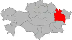 | |
| Major cities | ||