Arjunamau
Arjunamau | |
|---|---|
Village | |
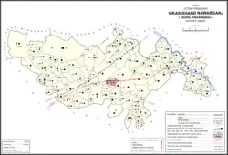 Map showing Arjunamau (#067) in Nawabganj CD block | |
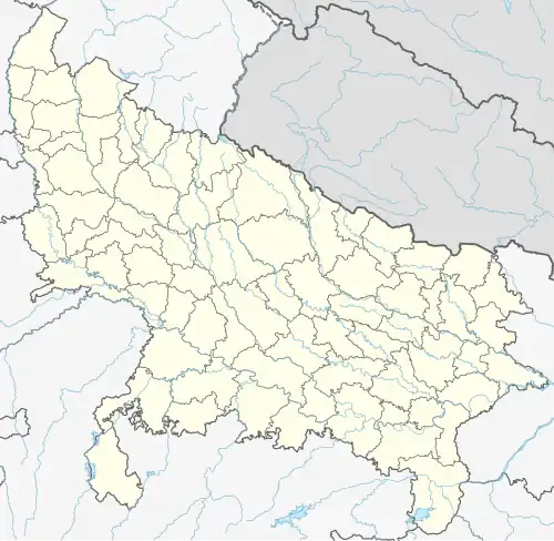 Arjunamau Location in Uttar Pradesh, India | |
| Coordinates: 26°40′09″N 80°45′38″E / 26.669187°N 80.760629°E[1] | |
| Country India | |
| State | Uttar Pradesh |
| District | Unnao |
| Area | |
• Total | 1.46 km2 (0.56 sq mi) |
| Population (2011)[2] | |
• Total | 1,923 |
| • Density | 1,300/km2 (3,400/sq mi) |
| Languages | |
| • Official | Hindi |
| Time zone | UTC+5:30 (IST) |
| Vehicle registration | UP-35 |
Arjunamau is a village in Nawabganj block of Unnao district, Uttar Pradesh, India.[2] As of 2011, its population is 1,923, in 364 households, and it has one primary school and no healthcare facilities.[2]
The 1961 census recorded Arjunamau as comprising 5 hamlets, with a total population of 858 (444 male and 414 female), in 129 households and 109 physical houses.[3] The area of the village was given as 365 acres.[3]
References
- ^ "Geographic Names Search WebApp". Search for "Arjunamau" here.
- ^ a b c d "Census of India 2011: Uttar Pradesh District Census Handbook - Unnao, Part A (Village and Town Directory)". Census 2011 India. pp. 237–61. Retrieved 12 July 2021.
- ^ a b Census 1961: District Census Handbook, Uttar Pradesh (37 - Unnao District) (PDF). Lucknow. 1965. pp. lx-lxi of section "Hasanganj Tehsil". Retrieved 12 July 2021.
{{cite book}}: CS1 maint: location missing publisher (link)