Arandon
Arandon | |
|---|---|
Part of Arandon-Passins | |
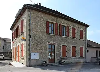 Arandon - Mairie | |
Location of Arandon | |
 Arandon  Arandon | |
| Coordinates: 45°42′42″N 5°25′48″E / 45.7117°N 5.43°E | |
| Country | France |
| Region | Auvergne-Rhône-Alpes |
| Department | Isère |
| Arrondissement | La Tour-du-Pin |
| Canton | Morestel |
| Commune | Arandon-Passins |
Area 1 | 12.22 km2 (4.72 sq mi) |
| Population (2022)[1] | 687 |
| • Density | 56/km2 (150/sq mi) |
| Time zone | UTC+01:00 (CET) |
| • Summer (DST) | UTC+02:00 (CEST) |
| Postal code | 38510 |
| Elevation | 212–292 m (696–958 ft) |
| 1 French Land Register data, which excludes lakes, ponds, glaciers > 1 km2 (0.386 sq mi or 247 acres) and river estuaries. | |
Arandon (French pronunciation: [aʁɑ̃dɔ̃]) is a former commune in the Isère department in the Auvergne-Rhône-Alpes region of southeastern France. On 1 January 2017, it was merged into the new commune Arandon-Passins.[2]
History
During World War II, the town was the site of a French internment camp holding both French and foreign Jews as well as non-French internees.
Population
| Year | Pop. | ±% |
|---|---|---|
| 1962 | 422 | — |
| 1968 | 388 | −8.1% |
| 1975 | 426 | +9.8% |
| 1982 | 391 | −8.2% |
| 1990 | 398 | +1.8% |
| 1999 | 405 | +1.8% |
| 2009 | 557 | +37.5% |
See also
References
- ^ "Populations de référence 2022" [Reference populations 2022] (PDF) (in French). INSEE. December 2024.
- ^ Arrêté préfectoral 29 July 2016 (in French)
Wikimedia Commons has media related to Arandon.