Andys Creek
| Andys Creek Tributary to Bear Creek | |
|---|---|
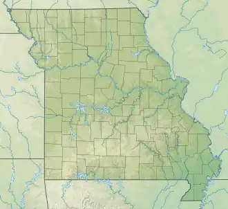 Location of Andys Creek mouth  Andys Creek (the United States) | |
| Location | |
| Country | United States |
| State | Missouri |
| County | Wayne |
| Physical characteristics | |
| Source | McCabe Creek divide |
| • location | about 8 miles northeast of Greenville, Missouri |
| • coordinates | 37°11′2.19″N 090°17′19.40″W / 37.1839417°N 90.2887222°W[1] |
| • elevation | 575 ft (175 m)[1] |
| Mouth | Bear Creek |
• location | about 10 miles north-northeast of Childers Hill |
• coordinates | 37°10′8.19″N 090°14′39.39″W / 37.1689417°N 90.2442750°W[1] |
• elevation | 400 ft (120 m)[1] |
| Length | 2.65 mi (4.26 km)[2] |
| Basin size | 3.90 square miles (10.1 km2)[3] |
| Discharge | |
| • location | Bear Creek |
| • average | 7.65 cu ft/s (0.217 m3/s) at mouth with Bear Creek[3] |
| Basin features | |
| Progression | Bear Creek → Castor River → Headwater Diversion Channel → Mississippi River → Gulf of Mexico |
| River system | Castor River |
| Tributaries | |
| • left | unnamed tributaries |
| • right | unnamed tributaries |
| Bridges | Mo-Oo |
Andys Creek is a stream in eastern Wayne County, Missouri.[1] It is a tributary of Bear Creek.
Andys Creek, historically called "Andy's Branch", has the name of a pioneer citizen.[4]
See also
References
- ^ a b c d e U.S. Geological Survey Geographic Names Information System: Andys Creek
- ^ "ArcGIS Web Application". epa.maps.arcgis.com. US EPA. Retrieved January 11, 2023.
- ^ a b "Watershed Report | Office of Water | US EPA". watersgeo.epa.gov. US EPA. Retrieved 11 January 2023.
- ^ "Wayne County Place Names, 1928–1945". The State Historical Society of Missouri. Archived from the original on June 24, 2016. Retrieved January 1, 2017.