Andelst
Andelst | |
|---|---|
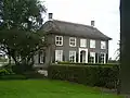
 Church of Andelst | |
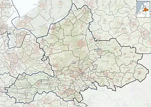 Andelst Location in the Netherlands 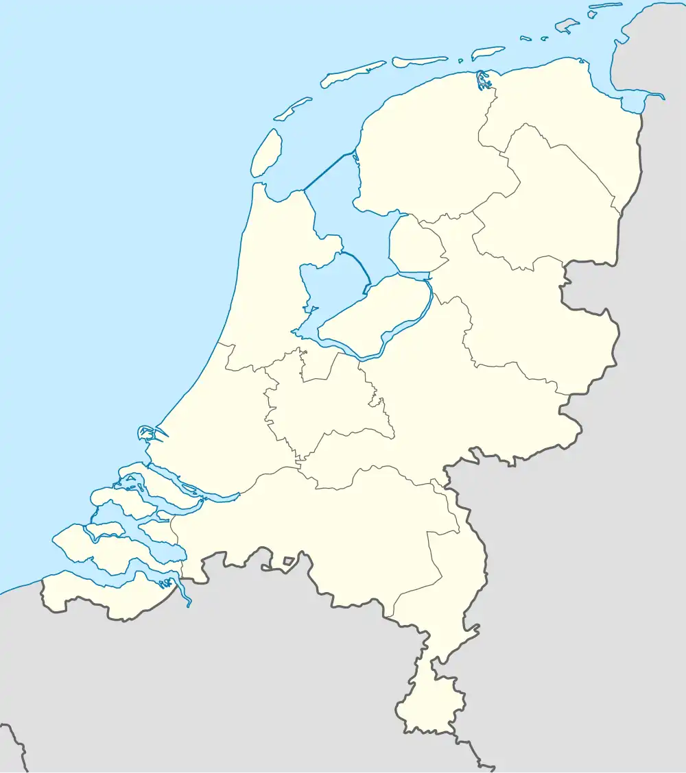 Andelst Andelst (Netherlands) | |
| Coordinates: 51°54′25″N 5°43′40″E / 51.90694°N 5.72778°E | |
| Country | Netherlands |
| Province | Gelderland |
| Municipality | Overbetuwe |
| Area | |
• Total | 6.65 km2 (2.57 sq mi) |
| Elevation | 8 m (26 ft) |
| Population (2021)[1] | |
• Total | 1,655 |
| • Density | 250/km2 (640/sq mi) |
| Time zone | UTC+1 (CET) |
| • Summer (DST) | UTC+2 (CEST) |
| Postal code | 6673[1] |
| Dialing code | 0488 |
Andelst is a village in the Dutch province of Gelderland. It is located in the municipality Overbetuwe, about 10 km northwest of the city of Nijmegen.
History
It is an old village; the first known mention dates from 855, as Andassale, and means "hall of Ando (person)".[3] The village developed on a high ridge and has been inhabited since the Roman period. The church has a tower from around 1400 and has been extensively restored between 1928 and 1930.[4] In 1327, the Duke of Gelre established a legal court in Andelst. There used to be a little castle near Andelst, but it was demolished in 1846. In 1840, Andelst was home to 508 people.[5]
Gallery
-
 Farm in Andelst
 -
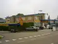 Former bus depot
 -
_gemeentehuis_(2).JPG) Town hall
Town hall -
_Indi%C3%AB-monument.JPG) Dutch East Indies monument
Dutch East Indies monument
References
- ^ a b c "Kerncijfers wijken en buurten 2021". Central Bureau of Statistics. Retrieved 24 March 2022.
- ^ "Postcodetool for 6673AB". Actueel Hoogtebestand Nederland (in Dutch). Het Waterschapshuis. Retrieved 24 March 2022.
- ^ "Andelst - (geografische naam)". Etymologiebank (in Dutch). Retrieved 24 March 2022.
- ^ Ronald Stenvert & Sabine Broekhoven (2000). "Andelst" (in Dutch). Zwolle: Waanders. ISBN 90 400 9406 3. Retrieved 24 March 2022.
- ^ "Andelst". Plaatsengids (in Dutch). Retrieved 24 March 2022.
Wikimedia Commons has media related to Andelst.