Ampahimanga
Ampahimanga | |
|---|---|
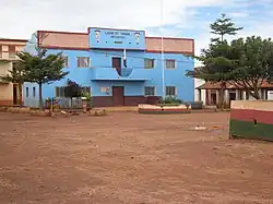 Town Hall Ampahimanga | |
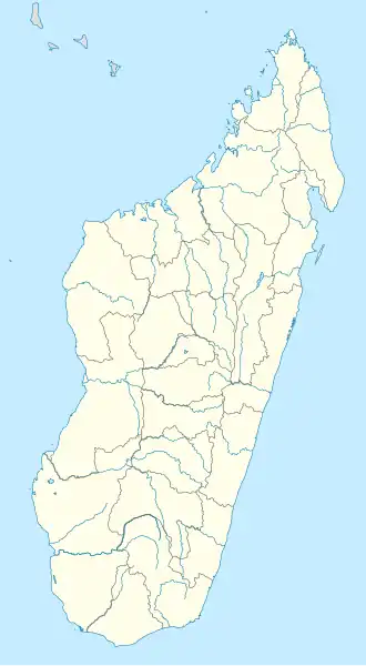 Ampahimanga Location in Madagascar | |
| Coordinates: 19°05′S 47°12′E / 19.083°S 47.200°E | |
| Country | |
| Region | Itasy |
| District | Arivonimamo |
| Elevation | 1,258 m (4,127 ft) |
| Population (2018)[2] | |
• Total | 16,184 |
| • Ethnicities | Merina |
| Time zone | UTC3 (EAT) |
| Postal code | 112 |
Ampahimanga is a rural commune in Madagascar. It belongs to the district of Arivonimamo, which is a part of Itasy. The population of the commune was 16,184 in 2018.
References
- ^ Estimated based on DEM data from Shuttle Radar Topography Mission
- ^ TROISIEME RECENSEMENT GENERAL DE LA POPULATION ET DE L’HABITATION
Capital: Miarinarivo | ||
| Arivonimamo (22) - 112 | 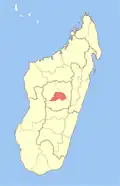 | |
| Miarinarivo (12) - 117 | ||
| Soavinandriana (15) - 118 | ||
3 districts; 49 communes | ||
Wikimedia Commons has media related to Ampahimanga.