Amgoria
Amgoria | |
|---|---|
village | |
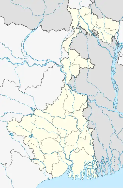 Amgoria Location in West Bengal, India  Amgoria Amgoria (India) | |
| Coordinates: 26°24′42″N 89°04′38″E / 26.41155°N 89.07715°E | |
| Country | |
| State | West Bengal |
| District | Purba Bardhaman |
| Area | |
• Total | 7 km2 (3 sq mi) |
| Population | |
• Total | 8,000 |
| • Density | 1,100/km2 (3,000/sq mi) |
| Languages | |
| • Official | Bengali, English |
| Time zone | UTC+5:30 (IST) |
| ISO 3166 code | IN-WB |
| Vehicle registration | WB |
| Climate | moderate (Köppen) |
| Precipitation | 1,500–2,000 millimetres (59–79 in) |
| Avg. summer temperature | 37 °C (99 °F) |
| Avg. winter temperature | 8 °C (46 °F) |
| Website | wb |
Amgoria, previously known as Amgadda, is a large village Burdwan division of the West Bengal state in India.[1] Situated in the pocket of Burdwan, Birbhum, Murshidabad and Nadia District. 29 km by road from Katwa, 32 km from Shantiniketan. The village was formerly under the Birbhum District; in 1946–47, it was incorporated in Burdwan District. Amgoria is connected to the rest of India through Metal Road Net.
References
Cities, towns and locations in Birbhum district, West Bengal | |||||||
|---|---|---|---|---|---|---|---|
| Cities, municipal and census towns |
| ||||||
| Locations other than cities and towns |
| ||||||
| See also |
| ||||||