Alnus Peak
| Alnus Peak | |
|---|---|
 Alnus Peak Location in Alberta  Alnus Peak Location in British Columbia 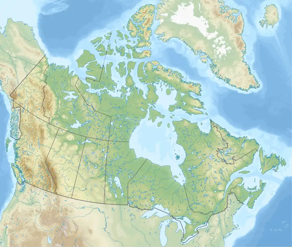 Alnus Peak Location in Canada | |
| Highest point | |
| Elevation | 2,968 m (9,738 ft)[1] |
| Prominence | 508 m (1,667 ft)[1] |
| Coordinates | 52°29′18″N 118°00′24″W / 52.48833°N 118.00667°W[1] |
| Geography | |
| Location | Alberta / British Columbia, Canada |
| District | Kootenay Land District |
| Parent range | Park Ranges |
| Topo map | NTS 83D8 Athabasca Pass |
| Climbing | |
| First ascent | 1920 Boundary Commission[1] |
Alnus Peak is located on the Canadian provincial boundary between Alberta and British Columbia. It was named in 1921 by Arthur O. Wheeler; alnus is the Latin name of the Alder tree.[2][1] The name may refer to the dense stands of Red Alder found in the area.[3]
See also
- List of peaks on the Alberta–British Columbia border
- List of mountains of Alberta
- Mountains of British Columbia
References
- ^ a b c d e "Alnus Peak". Bivouac.com. Retrieved 2010-02-07.
- ^ "Alnus Peak". cdnrockiesdatabases.ca. Retrieved 2010-02-07.
- ^ Boles, Glen W.; Laurilla, Roger W.; Putnam, William L. (2006). Canadian Mountain Place Names. Vancouver: Rocky Mountain Books. p. 26. ISBN 978-1-894765-79-4.