Ajmer tehsil
Ajmer Tehsil | |
|---|---|
Tehsil | |
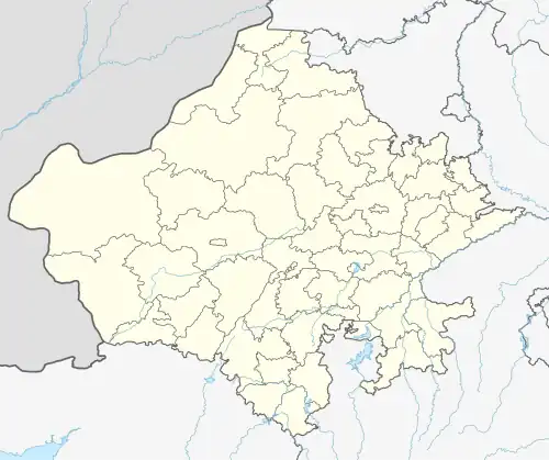 Ajmer Tehsil Location of Ajmer tehsil  Ajmer Tehsil Ajmer Tehsil (India) | |
| Coordinates: 26°30′04″N 74°39′01″E / 26.500977°N 74.650396°E | |
| Country | |
| State | Rajasthan |
| District | Ajmer |
| Population (2011)[1] | |
• Total | 577,838 |
| Languages | |
| • Official | Hindi, Rajasthani |
| Time zone | UTC+5:30 (IST) |
Ajmer is a tehsil in Ajmer district of Rajasthan state in India.[2][3] It consists of 4 census towns and 85 villages. The capital of the tehsil is the eponymous Ajmer.[4]
History
Before the formation of the Republic of India, the territory of present-day Ajmer tehsil was part of the former Ajmer-Merwara Province (also called Ajmer-Merwara-Kekri).[5] In 1950, Ajmer province became a "Part C" state, and subsequently merged into Rajasthan state in 1956.[6] Following the merger, the new district of Ajmer was constituted which included the territory of present-day Ajmer tehsil.[7]
Geography
The tehsil consists of 4 census town's and 85 villages.[8]
Census town
Villages
- Ajaysar
- Akhri
- Amba Maseena
- Aradka
- Babayacha
- Badiya Ka Bala
- Baghpura
- Balwanta
- Banseli
- Bargaon
- Beer
- Bhanwta
- Bhawani Khera
- Bhoodol
- Bubani
- Chachiyawas
- Chandiyawas
- Chawandiya
- Chhatri
- Danta
- Danta, Gegal
- Daurai
- Dedula
- Deo Nagar
- Doomara
- Doongariya Khurd
- Gagwana
- Ganahera
- Gegal
- Ghooghra
- Godiyawas
- Goyala
- Gudha
- Gudha, Kadel
- Gudli
- Guwardi
- Hansiyawas
- Hathi Khera
- Hatoondi
- Hokaran
- Hoshiyara
- Jatiya
- Jatli
- Kadel
- Kaklana
- Kawalai
- Kayampura
- Kayar
- Khajpura
- Kharekhari
- Khonda
- Khori
- Kishanpura
- Lachchipura
- Ladpura
- Leela Seori
- Leswa
- Lohagal
- Madarpura
- Magra
- Magri
- Majhewla
- Makarwali
- Manpura
- Miyapur
- Muhami
- Naharpura
- Nand
- Nareli
- Narwar
- Nolkha
- Oontra
- Padampura
- Palra
- Pushkar
- Ramner Dhani
- Rampura Nand
- Rasoolpura
- Rewat
- Saradhana
- Sarana
- Sedariya
- Somalpur
- Tabeeji
- Tilora
References
- ^ "Name Census 2011, Rajasthan data". censusindia.gov.in. 2022. Retrieved 11 January 2022.
- ^ Division, India Census (1967). Rajasthan. Office of the Registrar General.
- ^ Bhārata Kī Janagaṇanā, 1991: Rājasthāna. Śr̥ṅkhalā 21 (in Hindi). General Administration Department, Government of Rajasthan. 1994.
- ^ "District sub district identification code—Rajasthan Government" (PDF). Archived (PDF) from the original on 23 January 2014.
- ^ Tara Boland-Crewe, David Lea, The Territories and States of India (Routledge, 2003), p. 213
- ^ Mohan Lal Gupta, Dr (20 April 2016). "The Great History of Ajmer: अजमेर का वृहत् इतिहास". Archived from the original on 20 April 2016. Retrieved 9 January 2022 – via Google Books.
- ^ Sharma, Nidhi (2000). Transition from Feudalism to Democracy, Jaipur: Aalekh Publishers, ISBN 978-81-87359-06-7, pp. 197–201,205–6
- ^ "अजमेर की तहसील, गाँव एवं कस्बे – Rajasthan information Guide-Connectrajasthan". Retrieved 9 January 2022.