Agnières-en-Dévoluy
Agnières-en-Dévoluy | |
|---|---|
Part of Dévoluy | |
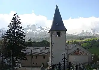 The church of Agnières-en-Dévoluy | |
 Coat of arms | |
Location of Agnières-en-Dévoluy | |
 Agnières-en-Dévoluy 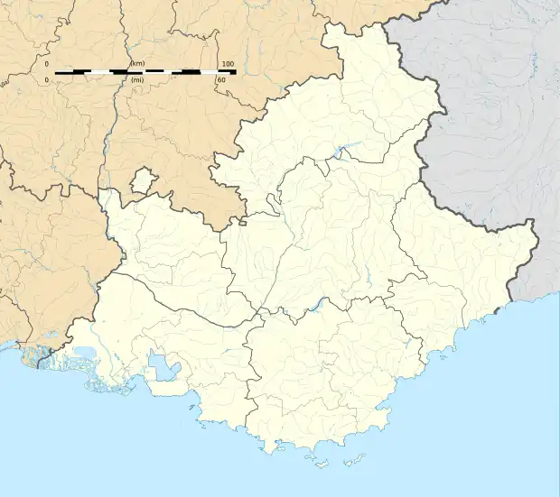 Agnières-en-Dévoluy | |
| Coordinates: 44°41′42″N 5°52′56″E / 44.695°N 5.8822°E | |
| Country | France |
| Region | Provence-Alpes-Côte d'Azur |
| Department | Hautes-Alpes |
| Arrondissement | Gap |
| Canton | Veynes |
| Commune | Dévoluy |
Area 1 | 32.46 km2 (12.53 sq mi) |
| Population (2019)[1] | 276 |
| • Density | 8.5/km2 (22/sq mi) |
| Time zone | UTC+01:00 (CET) |
| • Summer (DST) | UTC+02:00 (CEST) |
| Postal code | 05250 |
| Elevation | 1,114–2,597 m (3,655–8,520 ft) (avg. 1,270 m or 4,170 ft) |
| 1 French Land Register data, which excludes lakes, ponds, glaciers > 1 km2 (0.386 sq mi or 247 acres) and river estuaries. | |
Agnières-en-Dévoluy (French pronunciation: [aɲɛʁ ɑ̃ devɔlɥi], lit. 'Agnières in Dévoluy'; Vivaro-Alpine: Anhera de Devolui) is a former commune of the Hautes-Alpes department in southeastern France. Mountainous, to the west is Rocher Rond. On 1 January 2013, Agnières-en-Dévoluy, La Cluse, Saint-Disdier, and Saint-Étienne-en-Dévoluy amalgamated into the new commune of Dévoluy.
Population
| Year | Pop. | ±% p.a. |
|---|---|---|
| 2006 | 259 | — |
| 2010 | 270 | +1.05% |
| 2019 | 276 | +0.24% |
| Source: INSEE[2][3][1] | ||
See also
References
Wikimedia Commons has media related to Agnières-en-Dévoluy.