Adesar
Adesar | |
|---|---|
Village | |
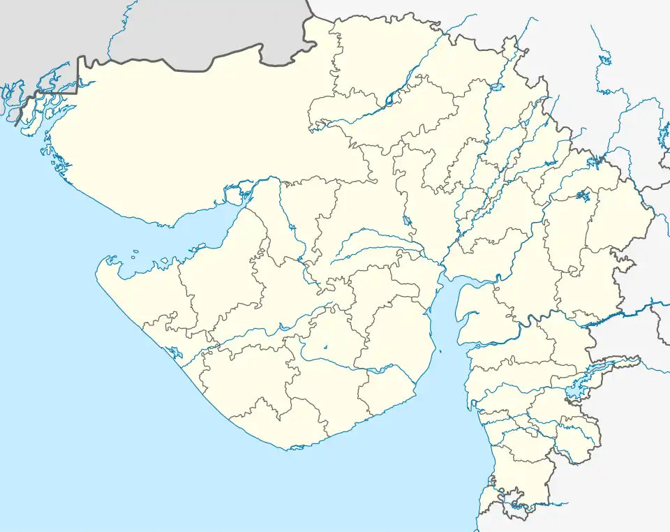 Adesar Location in Gujarat, India 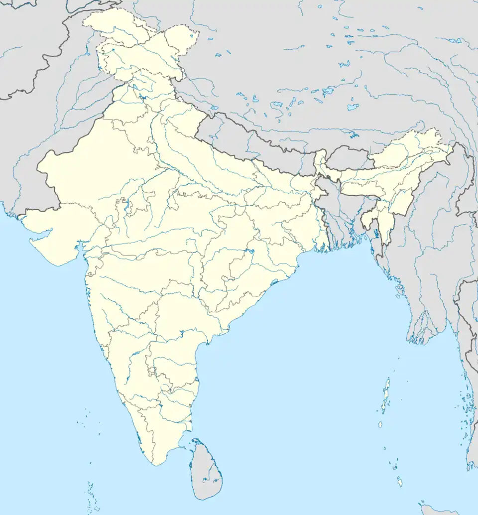 Adesar Adesar (India) | |
| Coordinates: 23°33′32″N 70°59′00″E / 23.55889°N 70.98333°E | |
| Country | |
| State | Gujarat |
| District | Kutch |
| Taluka | Rapar |
| Elevation | 79 m (259 ft) |
| Population (2013) | |
• Total | 9,560 + |
| • Density | 2,000/km2 (5,000/sq mi) |
| Languages | |
| • Official | Kutchi, Gujarati, Hindi |
| Time zone | UTC+5:30 (IST) |
| PIN | 370 155 |
| Telephone code | 02830 |
| Vehicle registration | GJ-12 |
Adesar is a small village in Kutch district, Gujarat, India.[1]
History
The town was protected by fort which were damaged in 1816 following war with Rao Bharmalji of Cutch State.[2]
The town had ancient Suryanarayan temple destroyed in 2001 Bhuj earthquake. It was rebuilt again later.[3]
References
- ^ Google Maps
- ^ Gazetteer of the Bombay Presidency: Cutch, Palanpur, and Mahi Kantha. Printed at the Government Central Press. 1880. p. 210.
- ^ "Surya Narayan temple -Adesar". The Megalithic Portal. 28 October 2007. Retrieved 1 August 2015.