Abloux
| Abloux | |
|---|---|
 | |
  | |
| Location | |
| Country | France |
| Physical characteristics | |
| Source | |
| • location | Bazelat |
| • coordinates | 46°21′23″N 01°31′23″E / 46.35639°N 1.52306°E |
| • elevation | 300 m (980 ft) |
| Mouth | Anglin |
• location | Prissac |
• coordinates | 46°30′42″N 01°15′04″E / 46.51167°N 1.25111°E |
• elevation | 105 m (344 ft) |
| Length | 49.6 km (30.8 mi) |
| Basin features | |
| Progression | Anglin→ Gartempe→ Creuse→ Vienne→ Loire→ Atlantic Ocean |
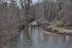
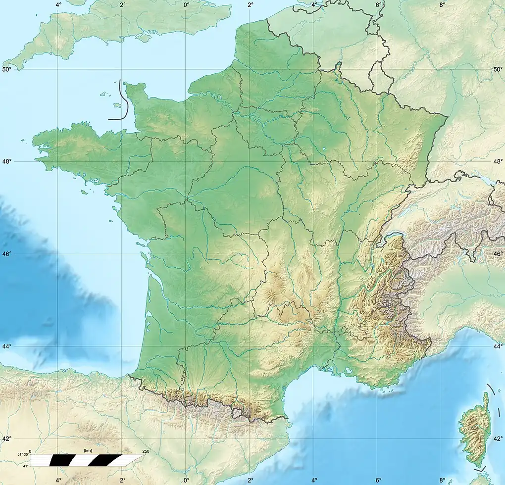
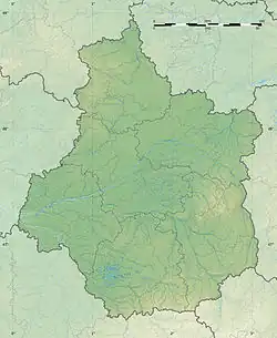
The Abloux (French pronunciation: [ablu]) is a 49.6 km (30.8 mi) long river in the Creuse and Indre departments in central France.[1] Its source is at Bazelat. It flows generally northwest. It is a right tributary of the Anglin, into which it flows at Prissac.
Communes along its course
This list is ordered from source to mouth:
- Creuse: Bazelat, Azerables, Saint-Sébastien
- Indre: Parnac, Éguzon-Chantôme, Bazaiges, Vigoux, Saint-Gilles, Chazelet, Saint-Civran, Sacierges-Saint-Martin, Prissac
References