Aber-arad
| Aber-arad | |
|---|---|
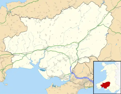 Aber-arad Location within Carmarthenshire | |
| Community |
|
| Principal area | |
| Preserved county | |
| Country | Wales |
| Sovereign state | United Kingdom |
| Post town | NEWCASTLE EMLYN |
| Postcode district | SA38 |
| Dialling code | 01239 |
| UK Parliament | |
| Senedd Cymru – Welsh Parliament | |
Aber-arad or Aber-Arad is a village in Carmarthenshire, Wales,[1] which lies less than one mile to the east of Newcastle Emlyn.
In 1870–72, John Marius Wilson in the Imperial Gazetteer of England and Wales described Aber Arad as:
ABERARAD, a village in the parish of Kenarth, Carmarthen; a mile east of Newcastle-Emlyn.[2]
References
- ^ Ordnance Survey: Landranger map sheet 145 Cardigan & Mynydd Preseli (Map). Ordnance Survey. 2010. ISBN 9780319231005.
- ^ "A Vision of Britain Through Time: Aber-arad". GB Historical GIS/University of Portsmouth. Retrieved 27 January 2016.